


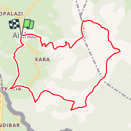


18.3 km | 29 km-effort

User


FREE GPS app for hiking
 SityTrail
IGN / Geographical institutes
SityTrail World
The world is yours!
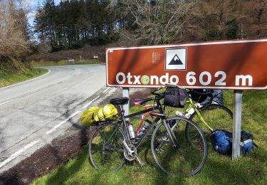
Trail Walking of 11.2 km to be discovered at New Aquitaine, Pyrénées-Atlantiques, Ainhoa. This trail is proposed by DECHAMPD.
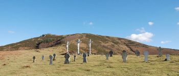
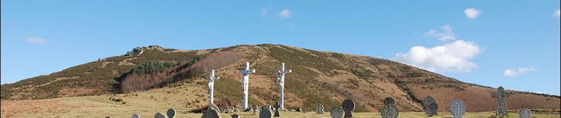
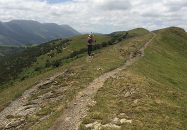
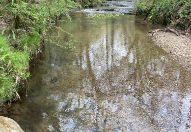
Départ de la place Dolharea avec des bananiers, près de l'église. C'est une boucle de 11,4 km avec un dénivelé cumulé positif d'environ 600m. A voir en chemin : vues panoramiques, chapelle de l'Aubépine, chemin de croix, stèles discoïdales dans les cimetières paysagers.


Walking

Running


Walking

Walking
Walking
On foot
On foot
Walking