


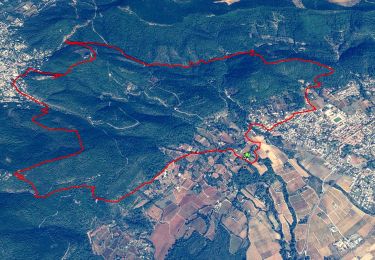
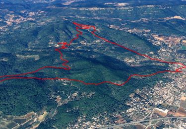
25 km | 34 km-effort

User


FREE GPS app for hiking
 SityTrail
IGN / Geographical institutes
SityTrail World
The world is yours!
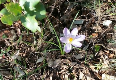
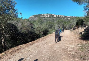
Trail Walking of 14.8 km to be discovered at Provence-Alpes-Côte d'Azur, Var, Cuers. This trail is proposed by cdanielrando.
Du pk au lieu dit " la foux ", prendre la direction de Rocbaron sur la D 40 sur un peu plus d'un km.
Prendre à gauche un sentier bien marqué qui monte sévèrement .
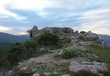
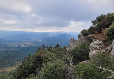
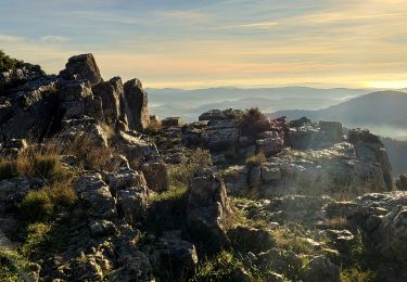
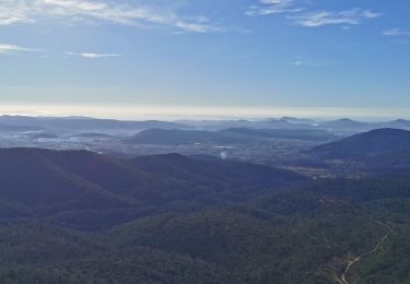
Du camp d'Aurélien et son oppidum ne subsiste aucune trace. Bien profiter de la vue à gauche sur les barres de Cuers et à droite sur la plaine et les îles d'Hyères. Faire attention en traversant le col de la Bigue, beaucoup de circulation. Du sommet du pilon St Clément, la vue est magnifique . La descente par le pas du Brusquet est assez raide mais sans difficulté particulière. De retour au col de la Bigue, prendre le sentier à droite assez ' discret " qui descend jusqu'aux voitures dans le vallon de la font de Garrel .

Mountain bike
Walking
Walking
Walking
Walking
Walking
Walking
Walking
Walking