


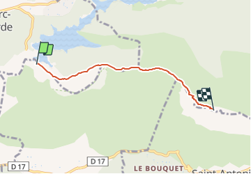

15.8 km | 28 km-effort

Tous les sentiers balisés d’Europe PRO


FREE GPS app for hiking
 SityTrail
IGN / Geographical institutes
SityTrail World
The world is yours!
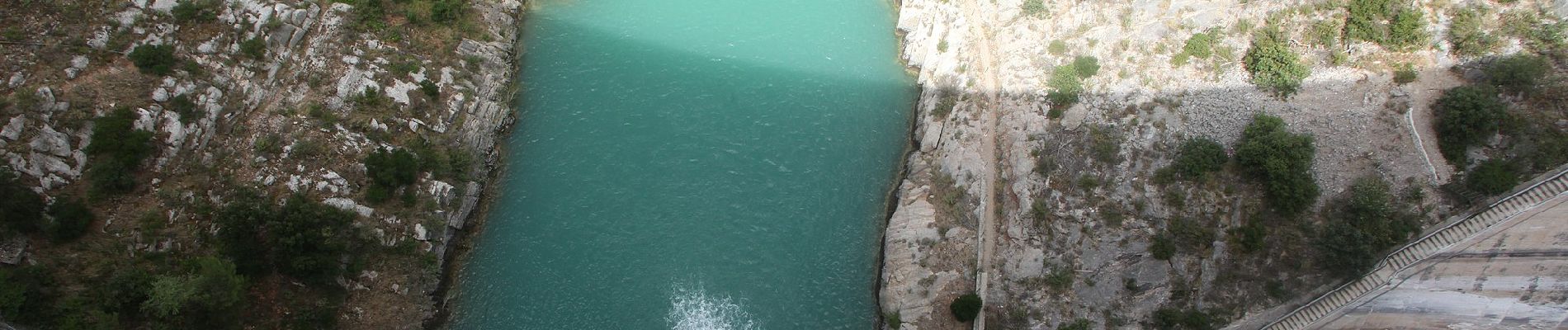
Trail On foot of 4.4 km to be discovered at Provence-Alpes-Côte d'Azur, Bouches-du-Rhône, Beaurecueil. This trail is proposed by SityTrail - itinéraires balisés pédestres.
Trail created by Grand Site Sainte-Victoire.


Walking

Walking

Walking

Walking

Walking

Walking

On foot

Walking

Walking