


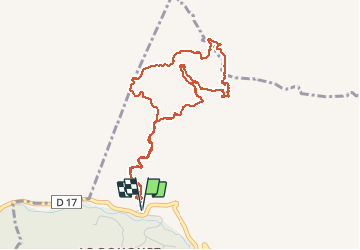


15.8 km | 28 km-effort

User GUIDE


FREE GPS app for hiking
 SityTrail
IGN / Geographical institutes
SityTrail World
The world is yours!
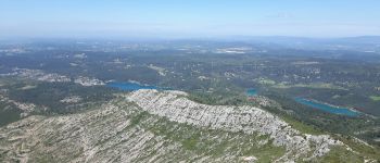
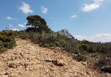
Trail Walking of 5.3 km to be discovered at Provence-Alpes-Côte d'Azur, Bouches-du-Rhône, Saint-Antonin-sur-Bayon. This trail is proposed by amiral13.
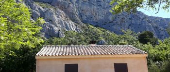
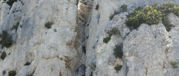
la montée s'éffectue par le tracé jaune en evitant le pas de la savonnette par le tracé pointillé jaune. au dessus on rencontre de nombreux pas d'escalade facile.
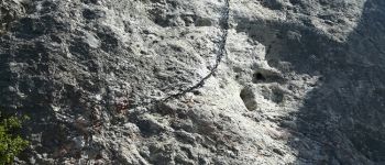
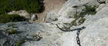
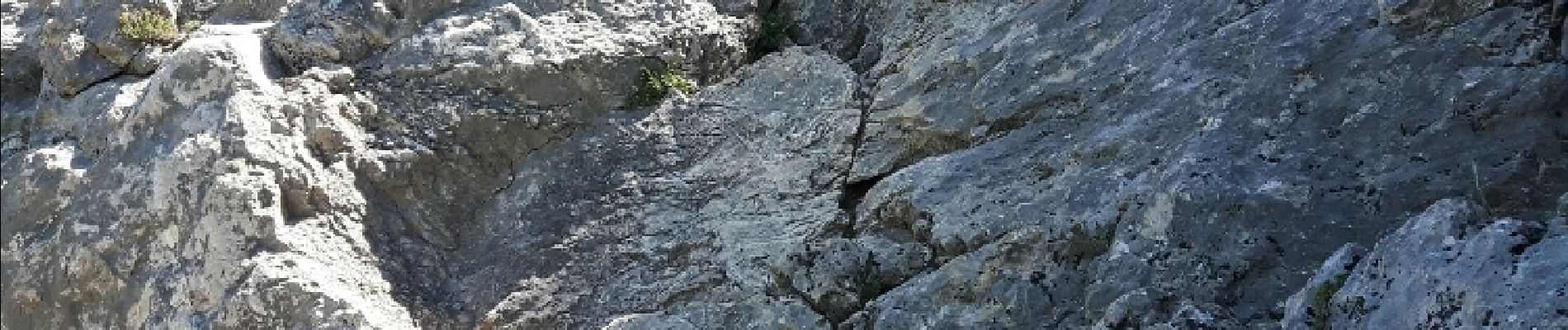
la descente passe par le pas du moine et le pas du berger qui demande un peu de dextérité; Si vous n'êtes pas sur de vous préféré le pas de l'escalette, beaucoup plus facile et "marchant"


Walking

Walking

Walking

Walking

Walking

On foot

On foot

Walking
Walking
A réserver aux randonneurs familiers avec l'escalade facile. A ne faire que par temps sec.