


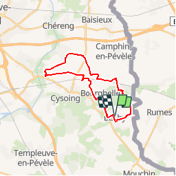

19.1 km | 20 km-effort

User


FREE GPS app for hiking
 SityTrail
IGN / Geographical institutes
SityTrail World
The world is yours!
Trail Mountain bike of 21 km to be discovered at Hauts-de-France, Nord, Bachy. This trail is proposed by tracegps.
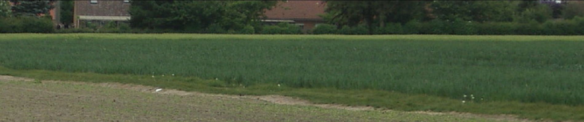
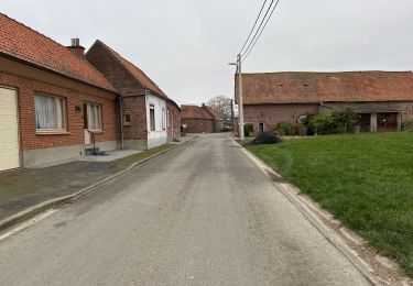
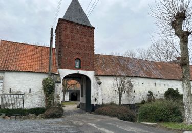
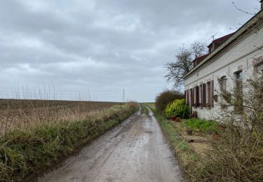
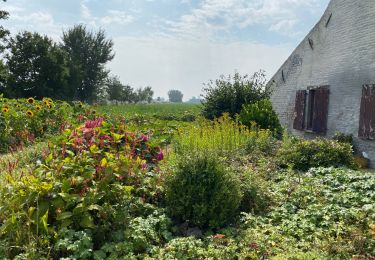
Départ de l'église de Bachy. Boucle qui traverse cinq paisibles villages du Pèvèle Mélantois. Passage stratégique du Paris Roubaix Pro: le carrefour de l'arbre. Pas de difficulté, nous sommes en terrain plat.


Mountain bike

Walking

Walking
Walking

Walking
Walking
Walking
Walking
Walking
parcours sympa, attention barrière posée en début de parcours sur Bachy dans la descente de Bourghelles, petit détour à prévoir, sinon chouette balade en Pévèle ,tranquille