


10.4 km | 18.9 km-effort

User


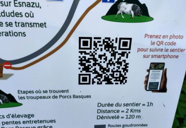
FREE GPS app for hiking
 SityTrail
IGN / Geographical institutes
SityTrail World
The world is yours!
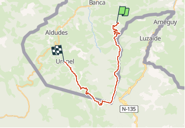
Trail Mountain bike of 22 km to be discovered at New Aquitaine, Pyrénées-Atlantiques, Banca. This trail is proposed by tracegps.
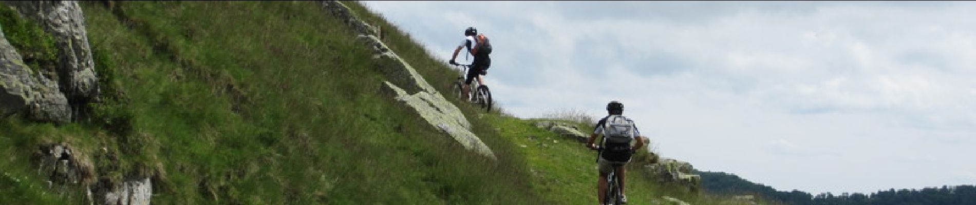
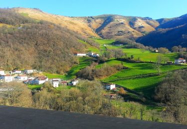
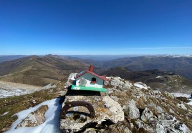
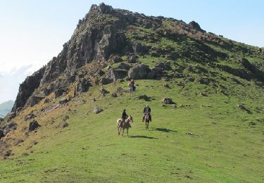
C’est un vrai festival de crêtes qui s’annonce avec cependant une montée conséquente. Une fois là-haut, que du plaisir. N’ayez crainte, il faut quand même pédaler car il faut passer quelques bosses. D’une ancienne redoute nourrit d’un grand décor, la descente se présente hors sentier, dans de belles landes pour rejoindre une piste qui nous transporte dans un paysage où les mots sauvage, lointain prennent toute leur importance. Un ancien chemin mène au charmant village d’Urepel. Plus de détail sur le Sentier des Contrebandiers en VTT .


On foot
Walking
Equestrian
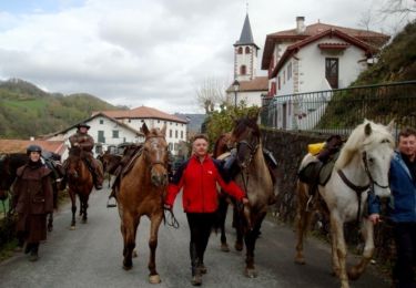
Equestrian
Walking

Walking
Walking
Walking
Walking