


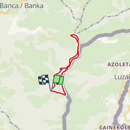


12.8 km | 22 km-effort


User


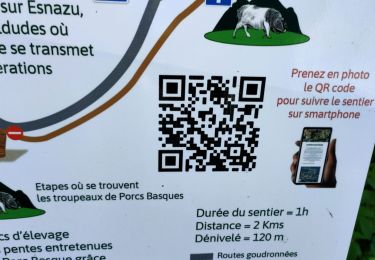
FREE GPS app for hiking
 SityTrail
IGN / Geographical institutes
SityTrail World
The world is yours!
Trail Walking of 10 km to be discovered at New Aquitaine, Pyrénées-Atlantiques, Banca. This trail is proposed by DECHAMPD.
Sommet de l'ADARTZA de la BF 171 à la BF 177 depuis GOSNAISTO par les cols MEHATZEKO, EHUNZAROY et JOKUTAKO.
On foot
On foot
Walking
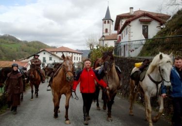
Equestrian
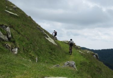
Mountain bike
Walking

Walking
Walking
Walking