


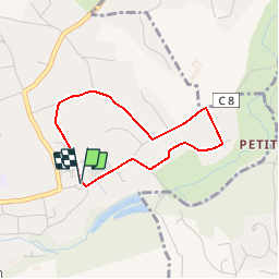

5.7 km | 7 km-effort


User


FREE GPS app for hiking
 SityTrail
IGN / Geographical institutes
SityTrail World
The world is yours!
Trail Walking of 2.9 km to be discovered at New Aquitaine, Gironde, Latresne. This trail is proposed by tracegps.
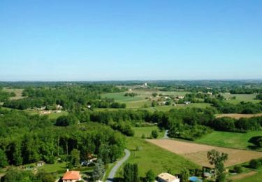
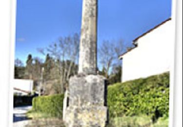
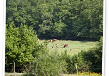
Ce petit circuit facilement faisable en 1 heure vous fera découvrir le versant nord de la vallée de la Pimpine. En partant de la place de l'église entourée de vieilles maisons, la balade vous fera passer par Pardaillan, l’un des plus vieux hameaux de Latresne. Isolé sur un petit plateau surplombant le ruisseau de la Pimpine, ce lieu est habité au moins depuis le XIIe siècle. De par son isolement, le hameau de Pardaillan a su garder tout son charme d’antan. Avec son lavoir, son puits et ses vieilles maisons en pierre il représente sans doute l’endroit le plus authentique et préservé de Latresne.


Walking

Walking
Walking
Cycle
Walking
Walking

Mountain bike
Mountain bike
Walking