


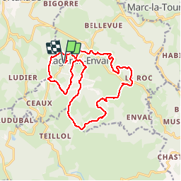

19.2 km | 26 km-effort


User


FREE GPS app for hiking
 SityTrail
IGN / Geographical institutes
SityTrail World
The world is yours!
Trail Walking of 17.2 km to be discovered at New Aquitaine, Corrèze, Lagarde-Marc-la-Tour. This trail is proposed by tracegps.
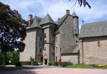
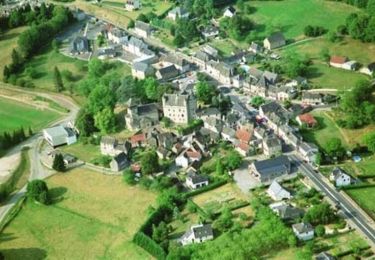
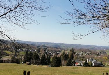
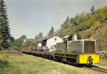
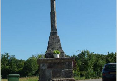
Départ depuis l'étang, vous rencontrerez ensuite de nombreux châtaigniers mais aussi de beaux éléments de patrimoine et petit patrimoine (château, croix, four à pain...), traverserez le ruisseau du Trieux, admirerez la vallée d'Argentat, et passerez le long d'un petit terrain d'aviation... Il existe une variante de 10 km. Téléchargez la fiche du circuit sur le site du Tourisme en Limousin.


Walking
Walking
Walking
Walking
Mountain bike

Walking
Walking