Trail Walking Gap - Col de Guizière - Photo
 Marco05
Marco05

User

© OpenStreetMap contributors
Length
Length
8.7 km
Max alt
Max alt
1651 m
Uphill gradient
Uphill gradient
657 m
Km-Effort
Km-Effort  
17.5 km
Min alt
Min alt
1052 m
Downhill gradient
Downhill gradient
657 m
Boucle
Boucle
Yes
Creation date :
2022-04-01 12:00:28.755
Updated on :
2022-09-02 15:49:19.408

(0 Reviews)

Walking
Walking
3h58
Difficulty : Medium

Scan this QR Code to open this trail in the SityTrail application

FREE GPS app for hiking

Logo SityTrail SityTrail

IGN / Geographical institutes

Download SityTrail from the App Store Download SityTrail from Google Play

Logo SityTrail SityTrail World

The world is yours!

Download SityTrail from the App Store Download SityTrail from Google Play Download SityTrail on Huawei AppGallery

About

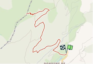
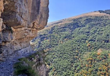
Trail Walking of 8.7 km to be discovered at Provence-Alpes-Côte d'Azur, Hautes-Alpes, Gap. This trail is proposed by Marco05.

Description

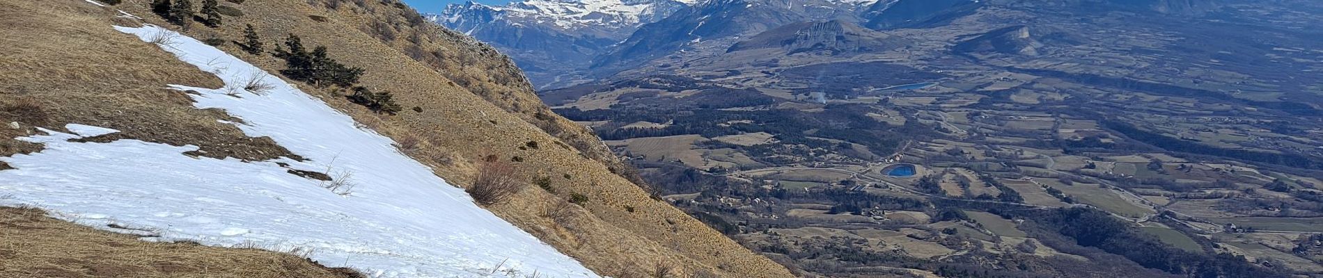
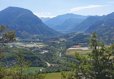
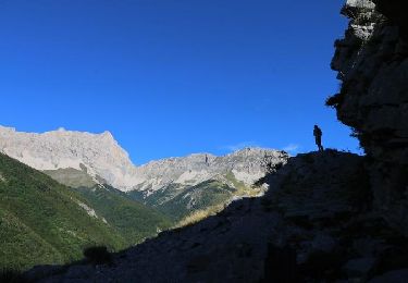
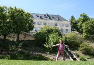
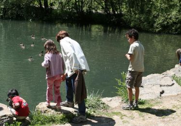
Départ du parking du lac de Charance au dessus de Gap.
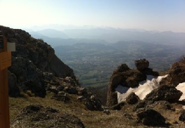
Randonnée sans grande difficulté, avec un petit 657m de dénivelé.

Elevation profile

Photos

Positioning

Country:
France
Region :
Provence-Alpes-Côte d'Azur
Department/Province :
Hautes-Alpes
Municipality :
Gap
Location:
Gap
Start:(UTM)
266541 ; 4940734 (32T) N.

Trails nearby

Trail Walking Gap - Brèche et croix de Charance - Photo
Walking
GUIDE
R@ph

Walking

Easy
(1)
Gap, Provence-Alpes-Côte d'Azur, Hautes-Alpes, France
8.6 km | 18.5 km-effort
2h 13min
No
Trail Walking Gap - 7 Chemin GAP - LA MOTTE DU CAIRE - Photo
Walking
GUIDE
R@ph

Walking

Very difficult
Gap, Provence-Alpes-Côte d'Azur, Hautes-Alpes, France
41 km | 60 km-effort
11h 0min
No
Trail On foot Rabou - 9587041 - Photo
On foot
GUIDE+

On foot

Easy
Rabou, Provence-Alpes-Côte d'Azur, Hautes-Alpes, France
6.6 km | 10.6 km-effort
3h 56min
No
Trail Walking Gap - R17   la Breche de Charance - Photo
Walking
GUIDE+

Walking

Medium
Gap, Provence-Alpes-Côte d'Azur, Hautes-Alpes, France
6.3 km | 14.1 km-effort
2h 48min
Yes
Trail Walking Gap - R16   Le parc de Charance - Photo
Walking
GUIDE+

Walking

Very easy
Gap, Provence-Alpes-Côte d'Azur, Hautes-Alpes, France
3.6 km | 5.2 km-effort
1h 8min
Yes
Trail Walking Rabou - R15   Le Tour du Puy - Photo
Walking
GUIDE+

Walking

Difficult
Rabou, Provence-Alpes-Côte d'Azur, Hautes-Alpes, France
11.1 km | 22 km-effort
4h 24min
Yes
Trail Walking Gap - Brèche de Charance - Col de Gleize - Photo
Walking
GUIDE
R@ph

Walking

Difficult
Gap, Provence-Alpes-Côte d'Azur, Hautes-Alpes, France
8 km | 18.1 km-effort
2h 29min
No
Trail Walking Gap - 3-pics-gleize_randonnee-40057005 - Photo
Walking
PapouBertrand

Walking

Difficult
Gap, Provence-Alpes-Côte d'Azur, Hautes-Alpes, France
6.9 km | 13.7 km-effort
3h 6min
Yes
Trail Walking Rabou - Rabou Tour du Puy - Photo
Walking
Marco05

Walking

Medium
Rabou, Provence-Alpes-Côte d'Azur, Hautes-Alpes, France
11.5 km | 21 km-effort
4h 46min
Yes


Close
My subscriptions