


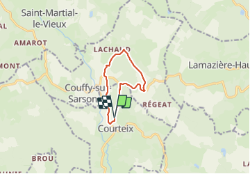


14.4 km | 18.3 km-effort

User


FREE GPS app for hiking
 SityTrail
IGN / Geographical institutes
SityTrail World
The world is yours!
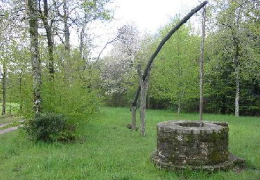
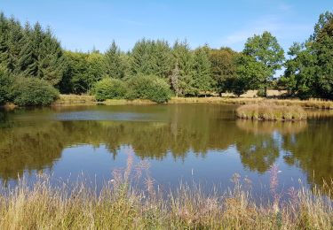
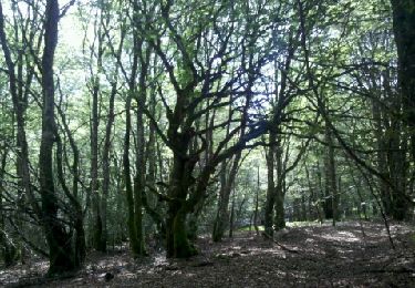
Trail Walking of 8.6 km to be discovered at New Aquitaine, Corrèze, Courteix. This trail is proposed by randodan.
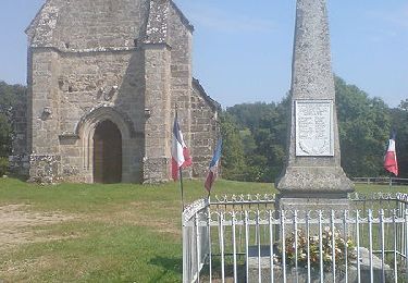
Eygurande 29 juin 2014<br>
- Circuit des Templiers -<br>
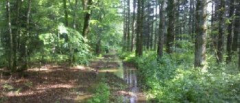
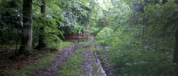
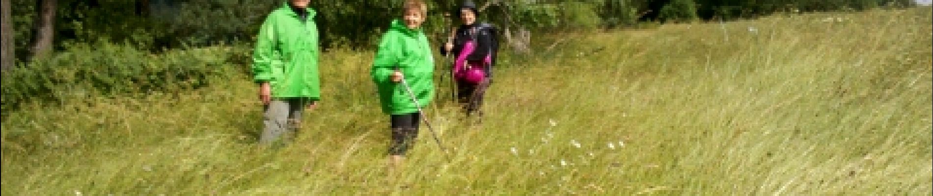
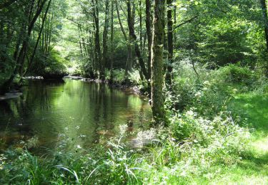
10h10, départ de la Chabanne (Courteix) sous la flotte . Mise dans l'ambiance immédiate : chemins inondés, herbes bien mouillées . Le GPS n'aime pas les gouttes de pluie sur l'écran et la carte se détrempe vite sous la pluie !<br>
Sous la Bouige Blanche, le sentier disparait sous les hautes herbes, et Josette nous fait la trace ;o)<br>
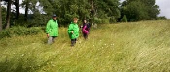
Au carrefour cote 852, vu le retard, décidons de raccourcir en évitant "La Chaud" . On aurait dû passer par la cote 790 mais le sentier disparaissait sous les ronces et taillis . C'est par un sentier de sangliers dans les hautes fougères qu'on aboutit au chemin de La Chaud . Sous le versant Est du Puy de la Chabanne, le GPS nous fait rater le sentier de retour et nous envoie sur la route.<br>
12h30 à la voiture.<br>
Ce fut alternances de sévères ondées et soleil.<br>
4 participants (Jo,Pat,Mo,Da).


Walking
Walking
Walking

Walking

Mountain bike
Walking
Mountain bike

Walking

Mountain bike