8.6 km | 18.5 km-effort
tête de guiziere. PC 1862.
gibello
User
Length
14.1 km
Max alt
1869 m
Uphill gradient
982 m
Km-Effort
27 km
Min alt
889 m
Downhill gradient
1014 m
Boucle
No
Creation date :
2022-04-14 06:16:13.311
Updated on :
2022-04-14 10:34:52.818
4h18
Difficulty : Medium
FREE GPS app for hiking
About
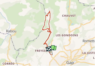
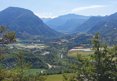
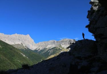
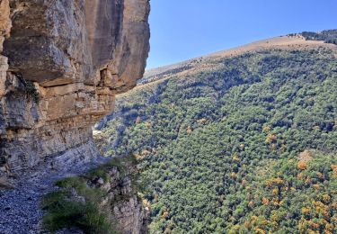
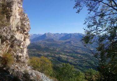
Trail Walking of 14.1 km to be discovered at Provence-Alpes-Côte d'Azur, Hautes-Alpes, Gap. This trail is proposed by gibello.
Description
départ lotissement charance
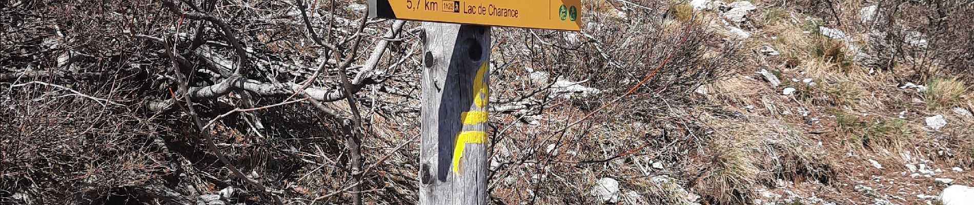
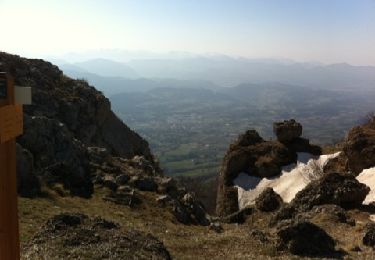
col de guiziere. tête de guiziere. PC 1862.retour par côté gelée.
Positioning
Country:
France
Region :
Provence-Alpes-Côte d'Azur
Department/Province :
Hautes-Alpes
Municipality :
Gap
Location:
Gap
Start:(Dec)
Start:(UTM)
266225 ; 4939350 (32T) N.
Comments
Trails nearby
Brèche et croix de Charance
Walking
Easy
(1)
Gap,
Provence-Alpes-Côte d'Azur,
Hautes-Alpes,
France
2h 13min
No
7 Chemin GAP - LA MOTTE DU CAIRE
Walking
Very difficult
Gap,
Provence-Alpes-Côte d'Azur,
Hautes-Alpes,
France
41 km | 60 km-effort
11h 0min
No
9587041
On foot
Easy
Rabou,
Provence-Alpes-Côte d'Azur,
Hautes-Alpes,
France
6.6 km | 10.6 km-effort
3h 56min
No
R17 la Breche de Charance
Walking
Medium
Gap,
Provence-Alpes-Côte d'Azur,
Hautes-Alpes,
France
6.3 km | 14.1 km-effort
2h 48min
Yes
R16 Le parc de Charance
Walking
Very easy
Gap,
Provence-Alpes-Côte d'Azur,
Hautes-Alpes,
France
3.6 km | 5.2 km-effort
1h 8min
Yes
R15 Le Tour du Puy
Walking
Difficult
Rabou,
Provence-Alpes-Côte d'Azur,
Hautes-Alpes,
France
11.1 km | 22 km-effort
4h 24min
Yes
Brèche de Charance - Col de Gleize
Walking
Difficult
Gap,
Provence-Alpes-Côte d'Azur,
Hautes-Alpes,
France
8 km | 18.1 km-effort
2h 29min
No
Rabou Tour du Puy
Walking
Medium
Rabou,
Provence-Alpes-Côte d'Azur,
Hautes-Alpes,
France
11.5 km | 21 km-effort
4h 46min
Yes
Pic de Charance
Walking
Medium
Gap,
Provence-Alpes-Côte d'Azur,
Hautes-Alpes,
France
8.9 km | 19 km-effort
4h 18min
Yes