


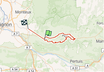

13.6 km | 23 km-effort

User


FREE GPS app for hiking
 SityTrail
IGN / Geographical institutes
SityTrail World
The world is yours!
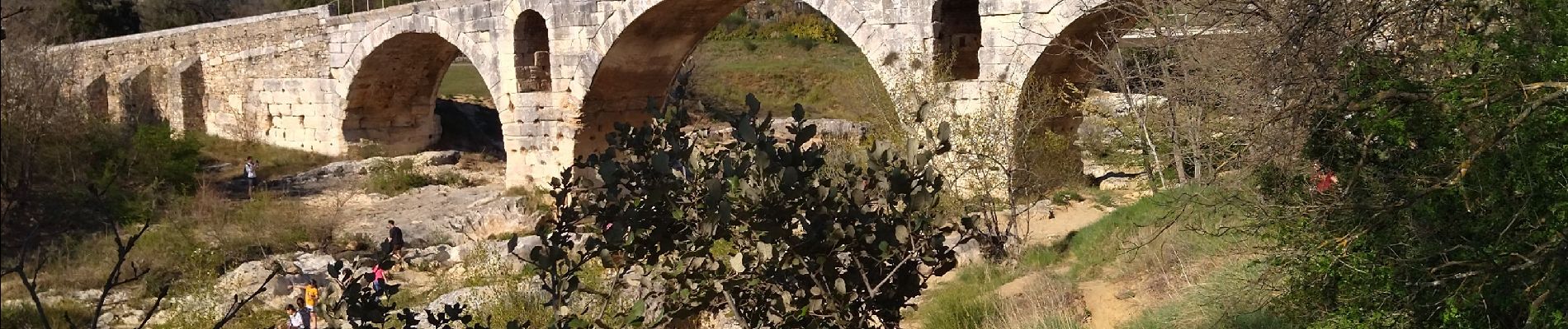
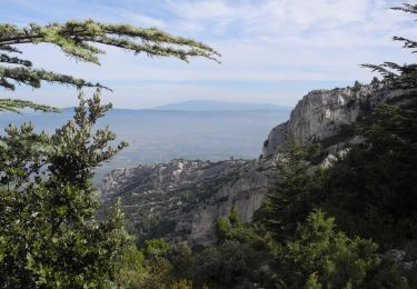
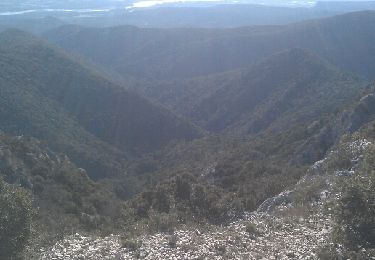
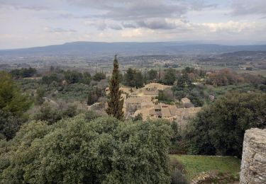
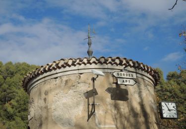
Trail Road bike of 90 km to be discovered at Provence-Alpes-Côte d'Azur, Vaucluse, Ménerbes. This trail is proposed by himba26100.
w end Pâques 2022


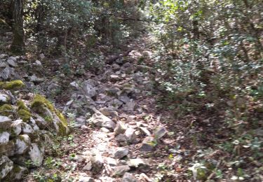
Walking
Walking

Walking

Mountain bike
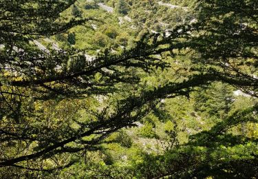
Walking
Walking
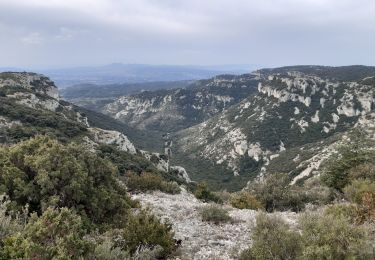
Trail
Walking
Walking