


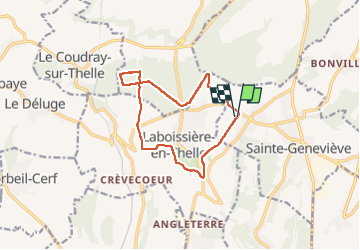

11.2 km | 13.2 km-effort


FREE GPS app for hiking
 SityTrail
IGN / Geographical institutes
SityTrail World
The world is yours!
Trail Horseback riding of 11.2 km to be discovered at Hauts-de-France, Oise, Sainte-Geneviève. This trail is proposed by 000424.06c930db02a7496ab9c7449d1e5fd4cc.1630.
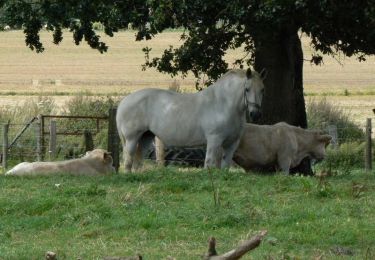
Trotting 5 min galop

Walking

Walking


sport

Mountain bike

Mountain bike

Mountain bike

Mountain bike

Mountain bike