


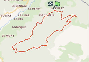

6.9 km | 15.1 km-effort

User GUIDE


FREE GPS app for hiking
 SityTrail
IGN / Geographical institutes
SityTrail World
The world is yours!
Trail Walking of 11.8 km to be discovered at Auvergne-Rhône-Alpes, Upper Savoy, Fillière. This trail is proposed by Kargil.
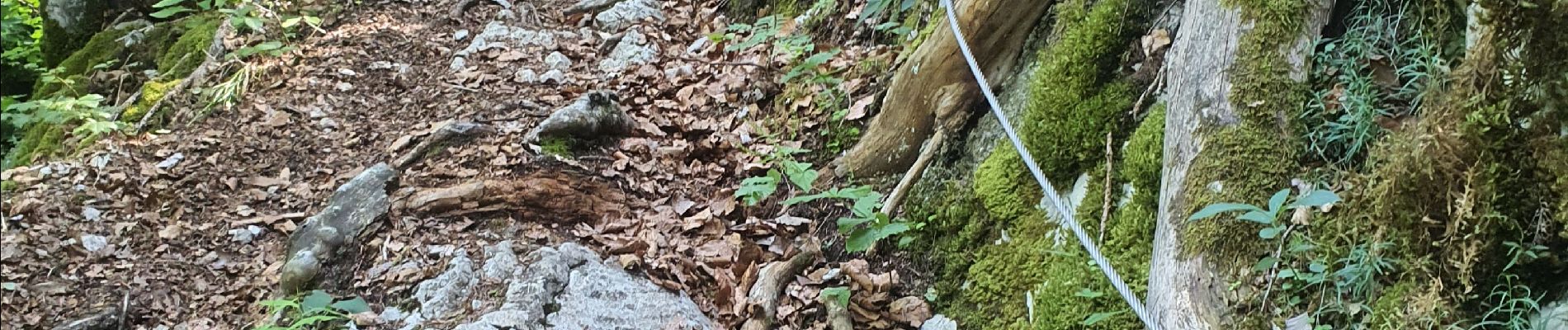
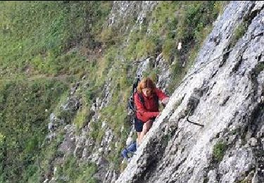
De facile à moyen sans difficulté. Quelques courts passages exposés sans danger avec un peu d'attention.
Le dénivelé se fait en plusieurs fois.
Possibilité de raccourcir en descendant directement au parking des Chenneviers, ma boucle supplémentaire n'ayant qu'un intérêt sportif pour allonger le kilométrage et augmenter le dénivelé.


Walking
Walking
Walking
Walking
Walking
Walking
Orienteering
Walking
Walking