


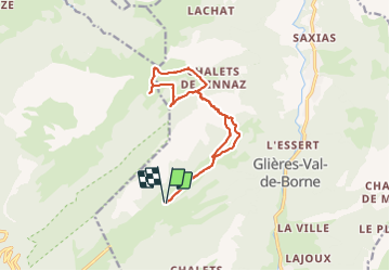

11.8 km | 24 km-effort

User


FREE GPS app for hiking
 SityTrail
IGN / Geographical institutes
SityTrail World
The world is yours!
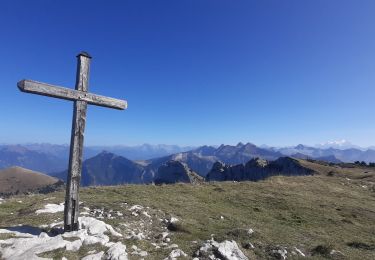
Trail Orienteering of 14.4 km to be discovered at Auvergne-Rhône-Alpes, Upper Savoy, Glières-Val-de-Borne. This trail is proposed by Myrostates.
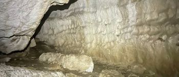
Entrainement Cartographie en partant du Plateau des Glières, en passant par Champs Laitier et le Col du Cable, avec en guise de cerise sur gateau, le passage dans la Grotte du Col du Cable.


Walking

Walking

Walking
Walking
Walking
Walking
Walking
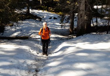
Snowshoes
Walking