


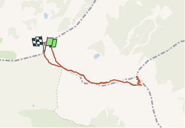

14.5 km | 28 km-effort

User GUIDE


FREE GPS app for hiking
 SityTrail
IGN / Geographical institutes
SityTrail World
The world is yours!
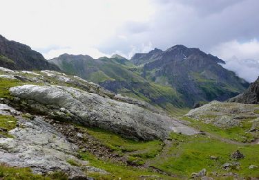
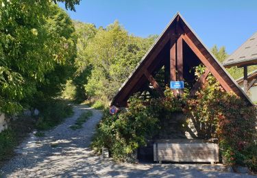
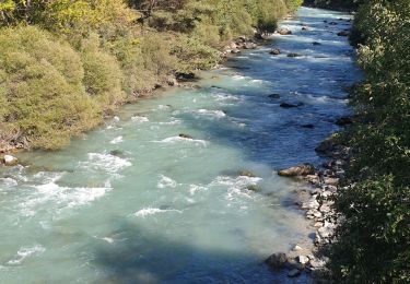
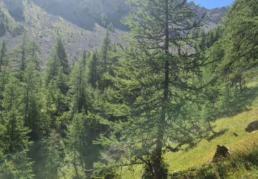
Trail Walking of 7.9 km to be discovered at Provence-Alpes-Côte d'Azur, Hautes-Alpes, Saint-Chaffrey. This trail is proposed by amiral13.
petite rando effectuée le 17 juillet 2022
balade facile à partir du téléphérique de la Serre Chevalier (18€/personne)
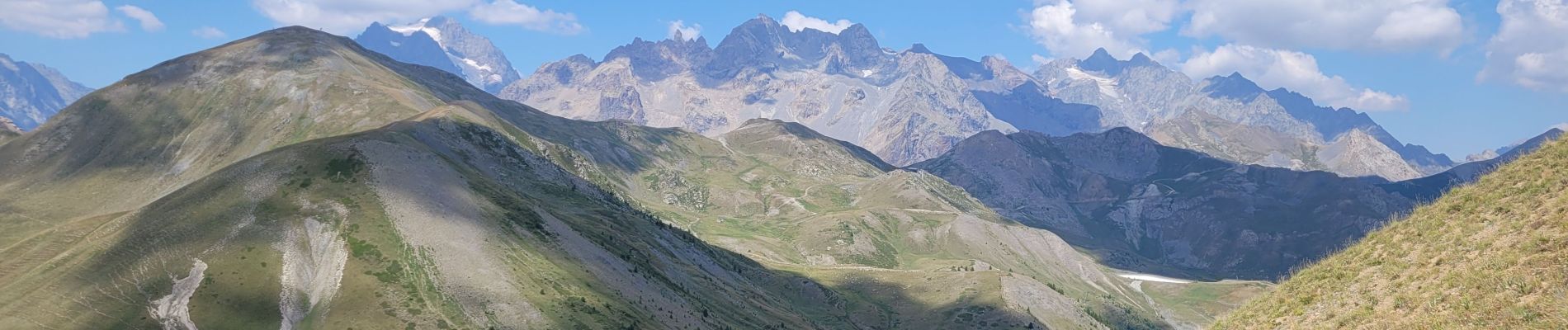
le sommet du Prorel offre une jolie vue à 360°; en particulier sur Le Pelvoux.


Walking
Walking
Walking
Walking
Trail
Running
Walking

Touring skiing

Touring skiing