


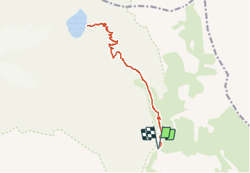


14.5 km | 28 km-effort

User


FREE GPS app for hiking
 SityTrail
IGN / Geographical institutes
SityTrail World
The world is yours!
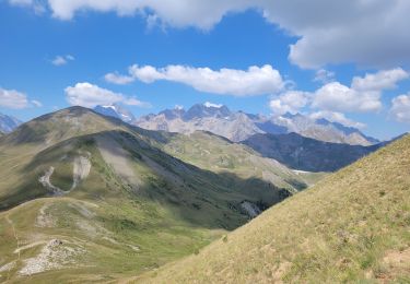
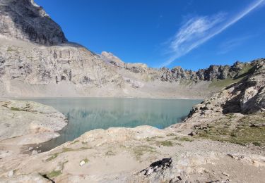
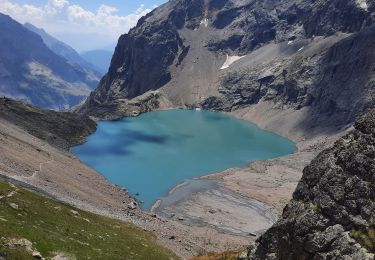
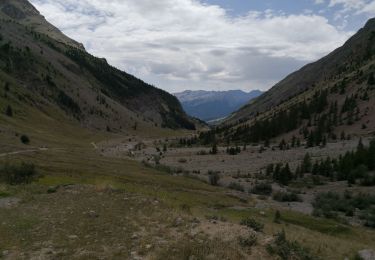
Trail Walking of 8.4 km to be discovered at Provence-Alpes-Côte d'Azur, Hautes-Alpes, Vallouise-Pelvoux. This trail is proposed by MarcLEBARON.
Boucle.
Départ après parking Chambran, après pont de bois démarrant la montée sur Eychauda.
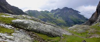
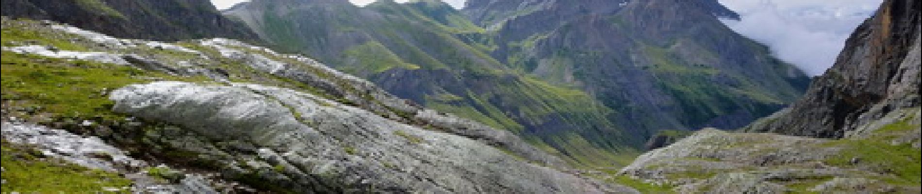
Montée plutôt raide, mais la partie terminale croise bien les courbes de niveaux et reste sans grosse difficulté à rythme adapté.


Walking

Walking
Walking
Walking
Walking
Walking
Walking
Walking
Walking