


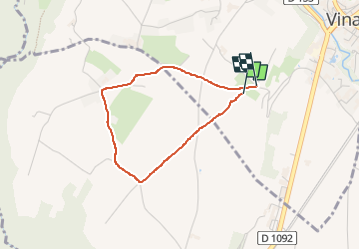

15.8 km | 31 km-effort

User


FREE GPS app for hiking
 SityTrail
IGN / Geographical institutes
SityTrail World
The world is yours!
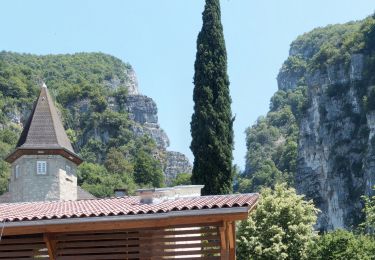
Trail Walking of 2.9 km to be discovered at Auvergne-Rhône-Alpes, Isère, Vinay. This trail is proposed by crocau.
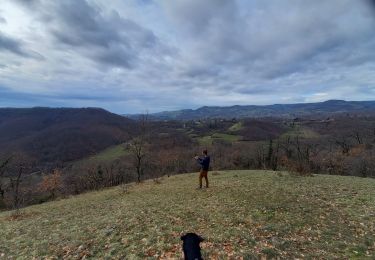
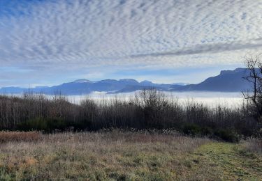
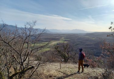
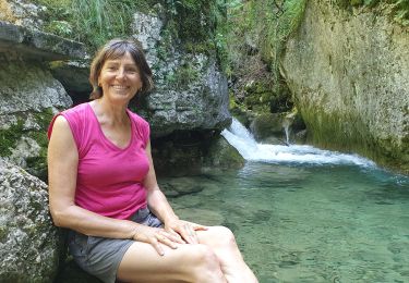
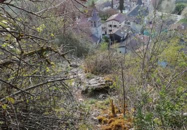
Balade facile sur un parcours marqué en jaune bien visible mais non repertorié. Nous traversons une réserve de chasse et de faune sauvage et atteignons ce qu'il reste du Château de la Blache et de son et de son petit étang.


Walking
Mountain bike
Walking
Walking
Walking
Walking
Walking
Walking

Mountain bike