


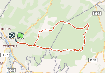

9 km | 12.3 km-effort


User


FREE GPS app for hiking
 SityTrail
IGN / Geographical institutes
SityTrail World
The world is yours!
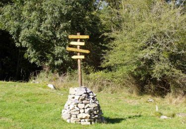
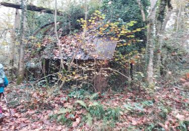
Trail Walking of 10.8 km to be discovered at New Aquitaine, Pyrénées-Atlantiques, Tardets-Sorholus. This trail is proposed by boombop.
Guide rando 64 Soule Xiberoa page 20. Montée et descente difficiles.


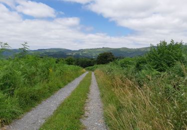
On foot

Walking
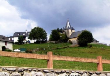
Walking
Walking
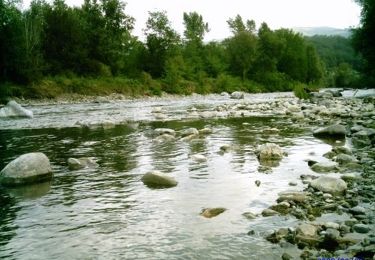
Walking

Walking
Walking
Walking
Walking