


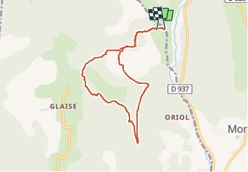

9.1 km | 14.9 km-effort


User


FREE GPS app for hiking
 SityTrail
IGN / Geographical institutes
SityTrail World
The world is yours!
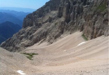
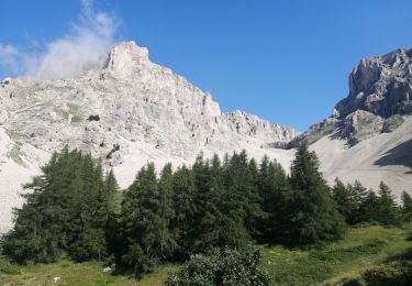
Trail Walking of 8 km to be discovered at Provence-Alpes-Côte d'Azur, Hautes-Alpes, Veynes. This trail is proposed by Magali 83.
Le départ et l'arrivée sur un gros dénivelé, boucle agréable et jolis points de vue


Walking
Walking

Mountain bike
Walking
Walking

Walking
Walking
Walking
Walking