


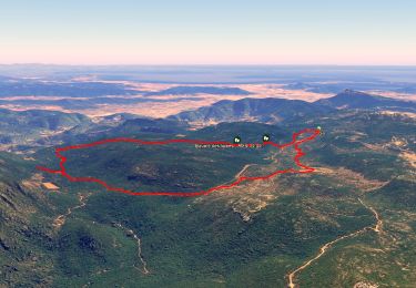
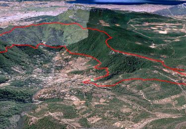
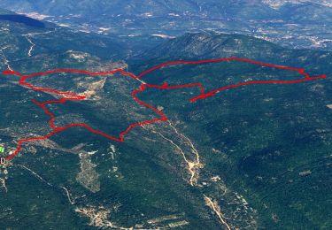
12.6 km | 16.7 km-effort

User


FREE GPS app for hiking
 SityTrail
IGN / Geographical institutes
SityTrail World
The world is yours!
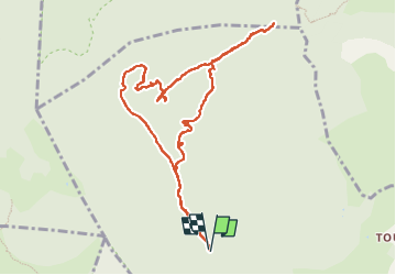
Trail Walking of 11.2 km to be discovered at Provence-Alpes-Côte d'Azur, Var, Solliès-Toucas. This trail is proposed by cousam.
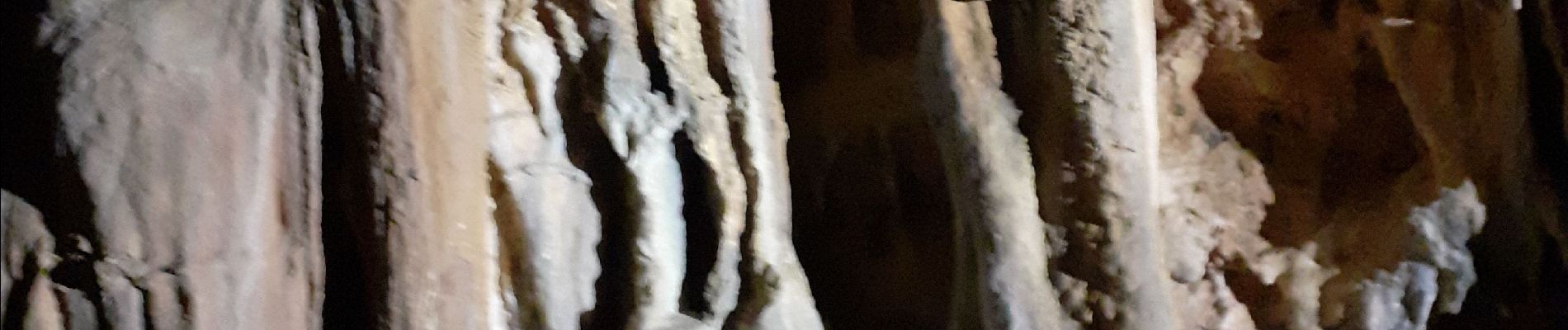
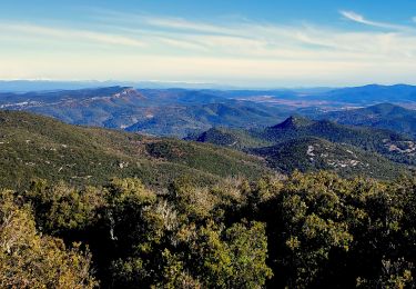
Circuit par l'aven dei lumen (prévoir petite corde frontale) très jolie (concrétions)
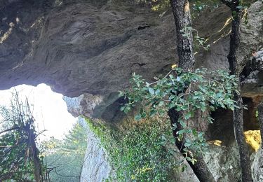
Arche de la garoute
Tête de la Marquise
et l'arche plate (l'hippopotame des Morières)


Walking
Walking
Walking
Walking

Walking

Walking
Walking

Walking

Running