


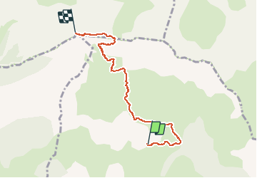


16.2 km | 28 km-effort

User


FREE GPS app for hiking
 SityTrail
IGN / Geographical institutes
SityTrail World
The world is yours!
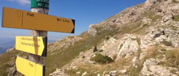
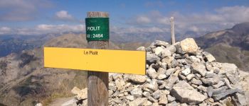
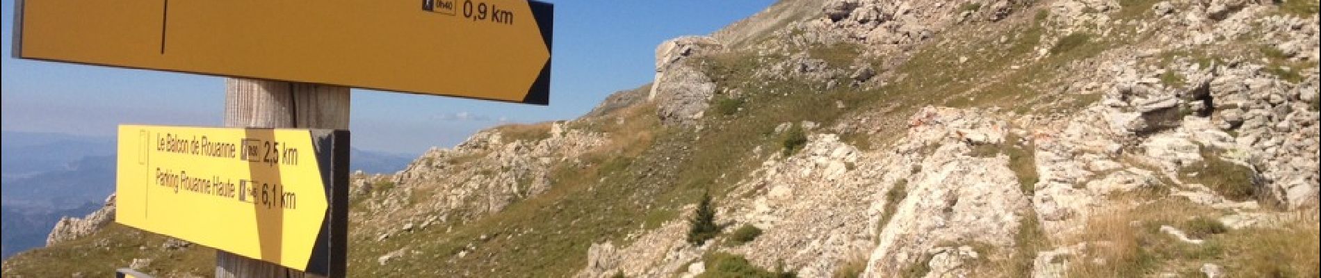
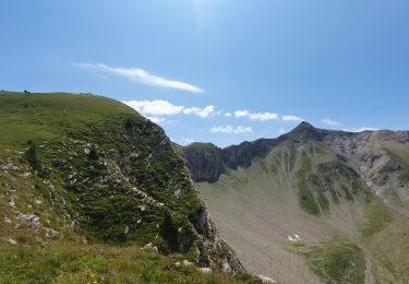
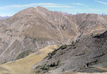
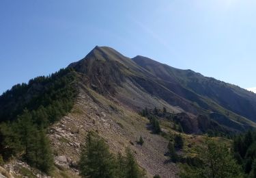
Trail Walking of 7.5 km to be discovered at Provence-Alpes-Côte d'Azur, Hautes-Alpes, Chorges. This trail is proposed by pascalspr.
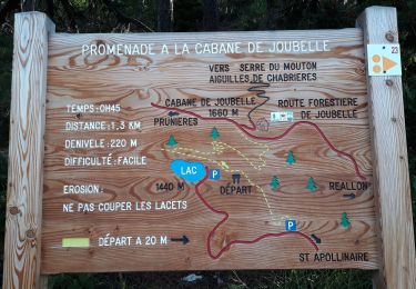
Parking à la barrière, retour par le même itinéraire.


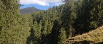
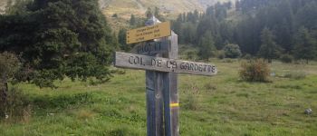
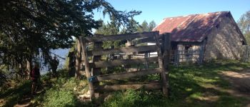
Walking
Walking
Walking

Walking
Walking

Walking
Walking
Walking
Walking