


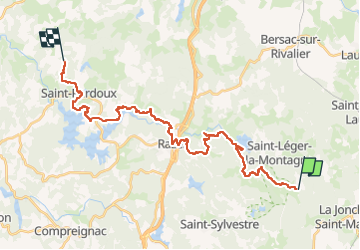

12.2 km | 16.4 km-effort


User


FREE GPS app for hiking
 SityTrail
IGN / Geographical institutes
SityTrail World
The world is yours!
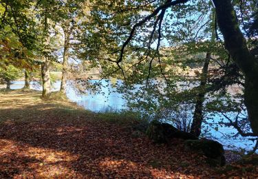
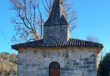
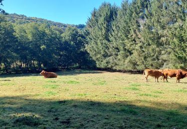
Trail Walking of 29 km to be discovered at New Aquitaine, Haute-Vienne, Saint-Léger-la-Montagne. This trail is proposed by aucamus.

Walking
Walking


sport
sport

Walking
Walking
Walking
Walking
Walking