Trail Touring skiing Cervières - combe obscure - Photo
 tchoua
tchoua

User

© OpenStreetMap contributors
Length
Length
11.4 km
Max alt
Max alt
2742 m
Uphill gradient
Uphill gradient
993 m
Km-Effort
Km-Effort  
25 km
Min alt
Min alt
1744 m
Downhill gradient
Downhill gradient
992 m
Boucle
Boucle
Yes
Creation date :
2023-02-01 07:35:50.755
Updated on :
2023-02-01 13:17:58.355

(0 Reviews)

Touring skiing
Touring skiing
2h39
Difficulty : Difficult

Scan this QR Code to open this trail in the SityTrail application

FREE GPS app for hiking

Logo SityTrail SityTrail

IGN / Geographical institutes

Download SityTrail from the App Store Download SityTrail from Google Play

Logo SityTrail SityTrail World

The world is yours!

Download SityTrail from the App Store Download SityTrail from Google Play Download SityTrail on Huawei AppGallery

About

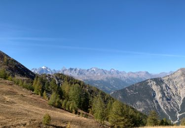
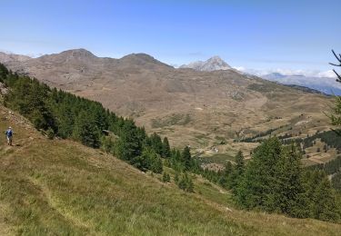
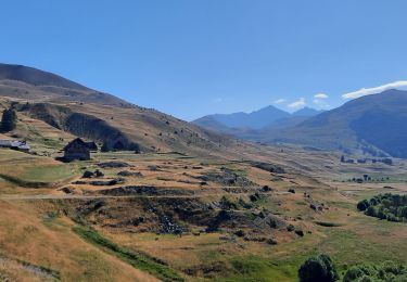
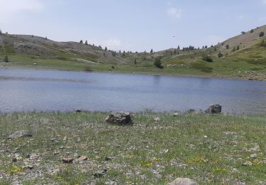
Trail Touring skiing of 11.4 km to be discovered at Provence-Alpes-Côte d'Azur, Hautes-Alpes, Cervières. This trail is proposed by tchoua.

Description

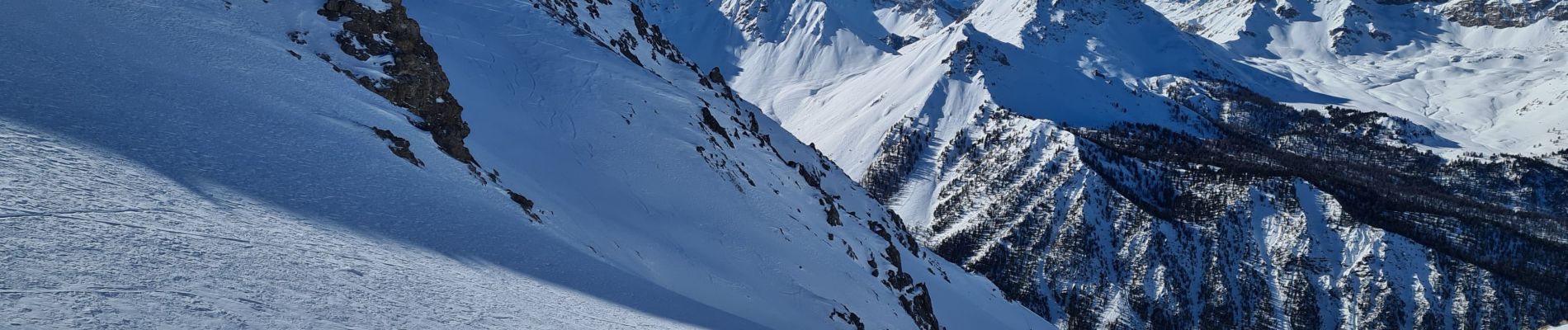
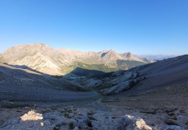
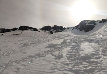
Depuis le hameau du Laus prendre l itinéraire col de chaude maison puis une fois que vous êtes au dessus de la bergerie du balais traverser à gauche pour rejoindre un collet sur une épaule et basculer dans le vallon ouest du col de prafauchier de là rejoindre le col , à partir de ce col on peut soit aller à la charvie soit rejoindre le col de chaude maison, pour la descente dans combe obscure c est tout droit à l aplomb, attention beaucoup de goulets étroits ( photos)  mais c est ce qui fait son charme avoir un bon niveau à ski .

Elevation profile

Photos

Positioning

Country:
France
Region :
Provence-Alpes-Côte d'Azur
Department/Province :
Hautes-Alpes
Municipality :
Cervières
Location:
Unknown
Start:(UTM)
320389 ; 4969489 (32T) N.

Trails nearby

Trail Walking Cervières - pic de Rochebrune - Photo
Walking
GUIDE
amiral13

Walking

Very difficult
Cervières, Provence-Alpes-Côte d'Azur, Hautes-Alpes, France
10.8 km | 26 km-effort
8h 10min
Yes
Trail Walking Val-des-Prés - le Chenaillet et le grand charvia - Photo
Walking
GUIDE
amiral13

Walking

Medium
Val-des-Prés, Provence-Alpes-Côte d'Azur, Hautes-Alpes, France
11.3 km | 19.5 km-effort
4h 17min
No
Trail Snowshoes Cervières - Le Laus - Vers Izoard par le sentier de la Mule - Photo
Snowshoes
Pek56

Snowshoes

Difficult
(3)
Cervières, Provence-Alpes-Côte d'Azur, Hautes-Alpes, France
12.3 km | 20 km-effort
5h 18min
Yes
Trail Walking Cervières - Cerviere lac Gignoux - Photo
Walking
Sorriaux

Walking

Medium
Cervières, Provence-Alpes-Côte d'Azur, Hautes-Alpes, France
9.1 km | 15.3 km-effort
3h 18min
Yes
Trail Touring skiing Cervières - bas de Rochebrune - Photo
Touring skiing
nadd73

Touring skiing

Medium
Cervières, Provence-Alpes-Côte d'Azur, Hautes-Alpes, France
15.1 km | 29 km-effort
4h 5min
No
Trail Mountain bike Briançon - Briançon -Fort Gondran -Montgenevre  - Photo
Mountain bike
delalex

Mountain bike

Difficult
Briançon, Provence-Alpes-Côte d'Azur, Hautes-Alpes, France
24 km | 33 km-effort
2h 16min
No
Trail Walking Cervières - le lasseron col de chaude maison  - Photo
Walking
Evenc

Walking

Difficult
Cervières, Provence-Alpes-Côte d'Azur, Hautes-Alpes, France
13.3 km | 28 km-effort
9h 54min
Yes
Trail Walking Cervières - Le Grand Charvia - Photo
Walking
GuyVachet

Walking

Very difficult
Cervières, Provence-Alpes-Côte d'Azur, Hautes-Alpes, France
10.9 km | 21 km-effort
4h 43min
Yes
Trail Walking Cervières - Cervières - Photo
Walking
pensionisten71

Walking

Difficult
Cervières, Provence-Alpes-Côte d'Azur, Hautes-Alpes, France
7.7 km | 13.4 km-effort
3h 6min
Yes


Close
My subscriptions