


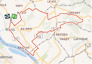

13.1 km | 16.1 km-effort

User


FREE GPS app for hiking
 SityTrail
IGN / Geographical institutes
SityTrail World
The world is yours!
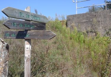
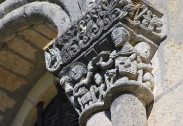
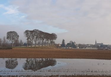
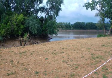
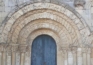
Trail Walking of 13.2 km to be discovered at New Aquitaine, Gironde, Rions. This trail is proposed by bedous.
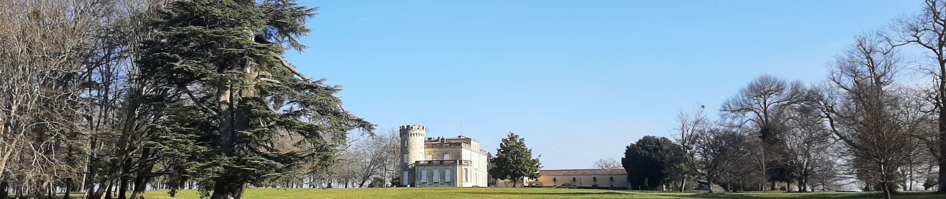
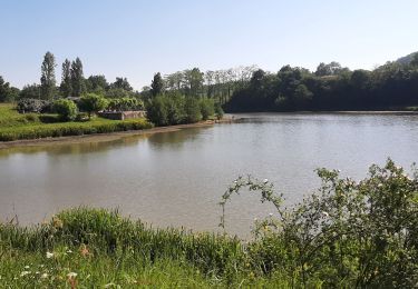
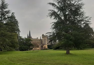
Très belle randonnée, vallonnée, sous bois ou au travers des vignes. Une partie du parcours en bord de Garonne. Le bourg de Rions vaut vraiment le déplacement.

Walking
On foot
On foot
Walking
Walking

Walking

Walking