


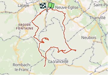

7.8 km | 12.6 km-effort


User GUIDE


FREE GPS app for hiking
 SityTrail
IGN / Geographical institutes
SityTrail World
The world is yours!
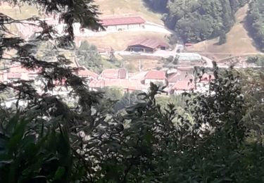
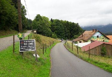
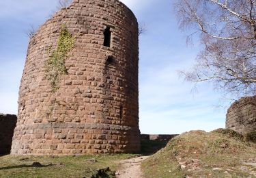
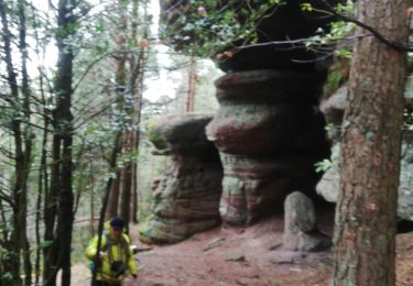
Trail Walking of 23 km to be discovered at Grand Est, Bas-Rhin, Breitenau. This trail is proposed by holtzv.
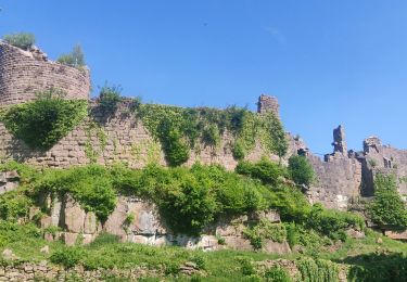
Marche au départ de Breitenau en passant par la chapelle du Rennfeld, le château du Franckenbourg, le rocher du coucou, le rocher des partisans, repas au Chalmont, la roche des Fées et Rondes Roches, la salière et la roche du cheval tombé.
Avec Sarah et Fanny
Walking
Walking

Mountain bike
Walking

Walking

Mountain bike
Walking
Walking
Walking