


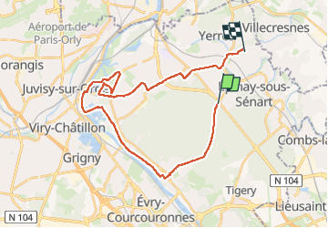

16.8 km | 18.6 km-effort


User


FREE GPS app for hiking
 SityTrail
IGN / Geographical institutes
SityTrail World
The world is yours!
Trail Hybrid bike of 29 km to be discovered at Ile-de-France, Essonne, Montgeron. This trail is proposed by Catherine de Brunoy.
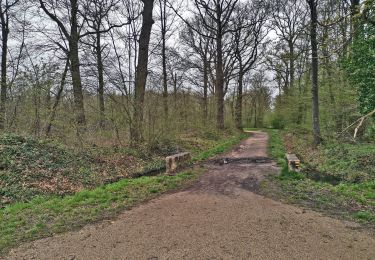
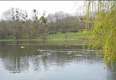
Brunoy - forêt de Senart - port aux cerises - Draveil cité Paris jardin.
retour par Montgeron essayer de modifier le retour par forêt...
Walking

Walking
On foot

Walking

On foot

Walking
On foot
On foot

Walking