


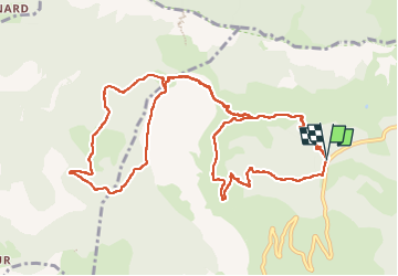


7.9 km | 11.2 km-effort

User


FREE GPS app for hiking
 SityTrail
IGN / Geographical institutes
SityTrail World
The world is yours!
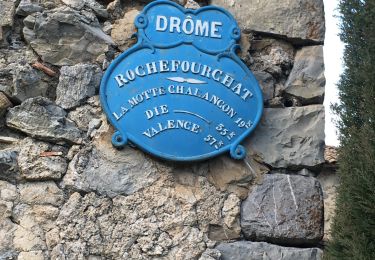
Trail Walking of 13.8 km to be discovered at Auvergne-Rhône-Alpes, Drôme, Bézaudun-sur-Bîne. This trail is proposed by AIGUIER.
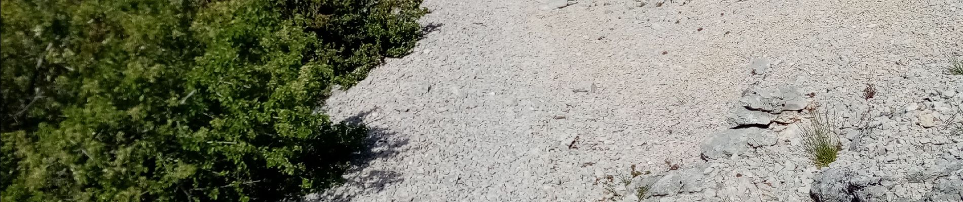
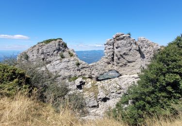
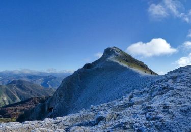
Belle randonnée sur d'excellents sentiers sous bois.
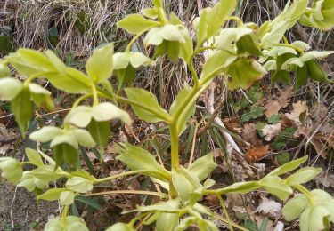
Ravissantes fleurs (Gentianes et orchis Pourpre).
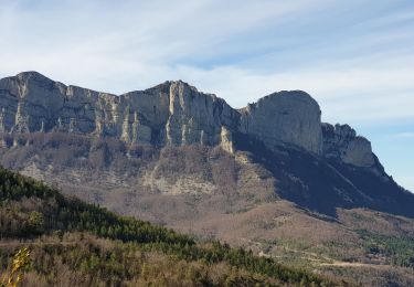
Formidable ces nuages au-dessus des montagnes.
Repas à proximité du Gîte de Fonderesse
Piste forestière avec 6 gîtes de France.
Difficulté d'une montée après le repas.
Retour avec passage sur des morceaux de bois
pour ne pas se mouiller les chaussures.
Le temps du repas n'est pas contabilisé.


22 photos in total. Please click on a photo to see them all in the gallery.
Walking

Walking

Walking
Walking

Walking

Walking
Walking
Walking
Walking