Trail Walking Saou - Les 3 Becs, le Veyou, le Signal et Rochecourbe - Photo

Les 3 Becs, le Veyou, le Signal et Rochecourbe

 tracegps
tracegps

User

© OpenStreetMap contributors
Length
Length
18.5 km
Max alt
Max alt
1561 m
Uphill gradient
Uphill gradient
1303 m
Km-Effort
Km-Effort  
36 km
Min alt
Min alt
470 m
Downhill gradient
Downhill gradient
1303 m
Boucle
Boucle
Yes
Creation date :
2014-12-10 00:00:00.0
Updated on :
2014-12-10 00:00:00.0

(3 Reviews)

Walking
Walking
8h00
Difficulty : Difficult

Scan this QR Code to open this trail in the SityTrail application

FREE GPS app for hiking

Logo SityTrail SityTrail

IGN / Geographical institutes

Download SityTrail from the App Store Download SityTrail from Google Play

Logo SityTrail SityTrail World

The world is yours!

Download SityTrail from the App Store Download SityTrail from Google Play Download SityTrail on Huawei AppGallery

About

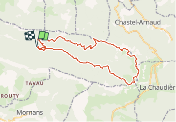
Trail Walking of 18.5 km to be discovered at Auvergne-Rhône-Alpes, Drôme, Saou. This trail is proposed by tracegps.

Description

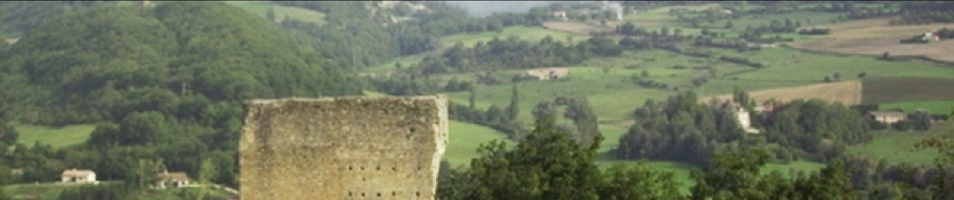
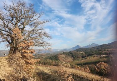
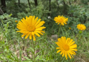
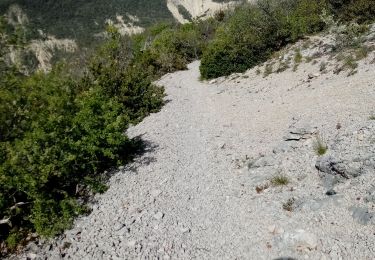
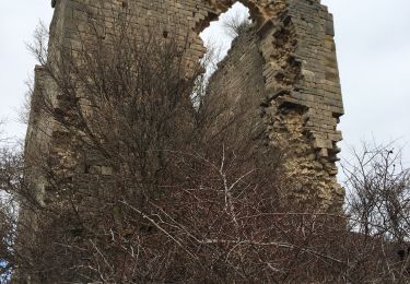
Les 3 Becs, le Veyou, le Signal et Rochecourbe Comment venir à Saoû et ne pas faire la randonnée qui vous fera découvrir la forêt de Saoû avec ses 3 Becs que sont le Veyou (1589m), le Signal (1559m) et Rochecourbe à 1546m. C'est une rando casse-croûte, plus de détails au gîte du Pré bossu.

Elevation profile

Photos

Positioning

Country:
France
Region :
Auvergne-Rhône-Alpes
Department/Province :
Drôme
Municipality :
Saou
Location:
Unknown
Start:(UTM)
668877 ; 4946567 (31T) N.

Comments

Please log in to post a review or rate the element


Trails nearby

Trail Walking Francillon-sur-Roubion - Balade à francillon sur roubion - description et photos - Photo
Walking
bob2023

Walking

Easy
(1)
Francillon-sur-Roubion, Auvergne-Rhône-Alpes, Drôme, France
5 km | 6.7 km-effort
1h 36min
Yes
Trail Walking Saou - roche Colombe - Photo
Walking
bob2023

Walking

Medium
(1)
Saou, Auvergne-Rhône-Alpes, Drôme, France
10.9 km | 16.8 km-effort
3h 58min
Yes
Trail Walking Saou - saou.les 3 becs - Photo
Walking
Lemichmich

Walking

Difficult
(3)
Saou, Auvergne-Rhône-Alpes, Drôme, France
22 km | 40 km-effort
6h 46min
Yes
Trail Walking Piégros-la-Clastre - Pas de Lauzen Col de la Chaudière - Photo
Walking
denis.benoit

Walking

Very difficult
(1)
Piégros-la-Clastre, Auvergne-Rhône-Alpes, Drôme, France
19.6 km | 42 km-effort
7h 36min
No
Trail Walking Saint-Sauveur-en-Diois - saint sauveur en diois - Photo
Walking
Fanchon_24

Walking

Very easy
Saint-Sauveur-en-Diois, Auvergne-Rhône-Alpes, Drôme, France
5 km | 6.7 km-effort
1h 46min
Yes
Trail Walking Aubenasson - saint Michel Aubenasson - Photo
Walking
Fanchon_24

Walking

Medium
Aubenasson, Auvergne-Rhône-Alpes, Drôme, France
19.7 km | 24 km-effort
3h 45min
No
Trail Walking Saou - Saou : petite balade en forêt  - Photo
Walking
Jgar

Walking

Medium
Saou, Auvergne-Rhône-Alpes, Drôme, France
7.4 km | 10.9 km-effort
2h 28min
Yes
Trail Walking Bézaudun-sur-Bîne - Fonderesse - Photo
Walking
AIGUIER

Walking

Difficult
Bézaudun-sur-Bîne, Auvergne-Rhône-Alpes, Drôme, France
13.8 km | 22 km-effort
27h 34min
Yes
Trail Walking Mornans - Mornans-tour de Bezaudun - Photo
Walking
ajd26

Walking

Medium
Mornans, Auvergne-Rhône-Alpes, Drôme, France
17.9 km | 27 km-effort
4h 57min
Yes


Close
My subscriptions