


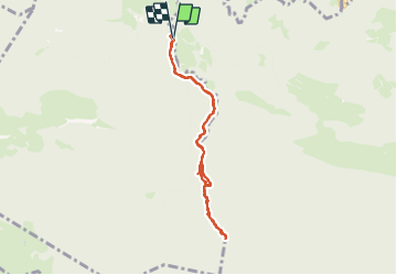

9.8 km | 16.7 km-effort


User


FREE GPS app for hiking
 SityTrail
IGN / Geographical institutes
SityTrail World
The world is yours!
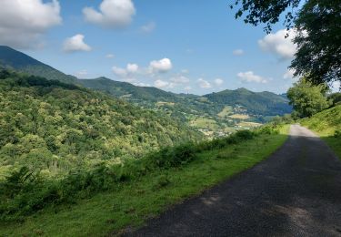
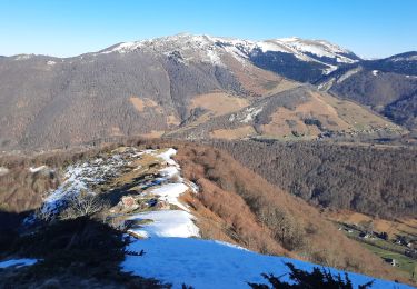
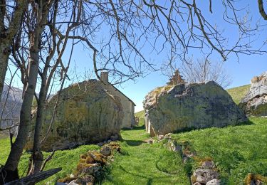
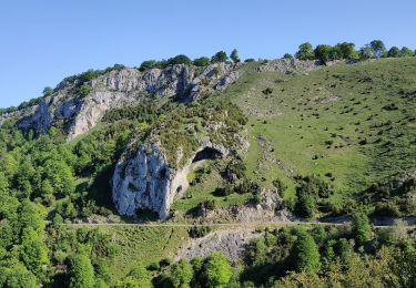
Trail Walking of 7.7 km to be discovered at Occitania, Hautespyrenees, Asque. This trail is proposed by Santblasi.
suivre panneaux.
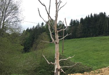
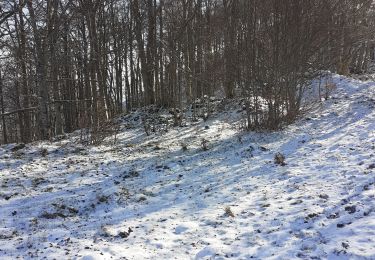
Avons rencontré de nombreux éboulements.
Walking

Walking
Walking
Walking
Walking

On foot
Walking

Walking