


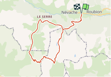


15.5 km | 28 km-effort

User


FREE GPS app for hiking
 SityTrail
IGN / Geographical institutes
SityTrail World
The world is yours!
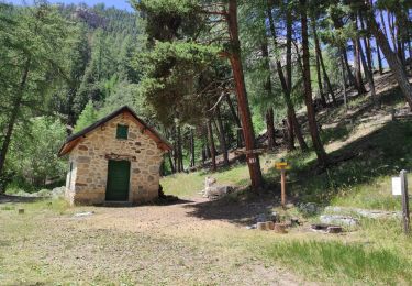
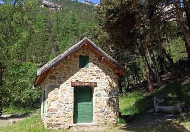
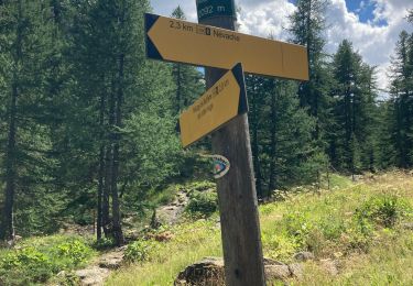
Trail Walking of 23 km to be discovered at Provence-Alpes-Côte d'Azur, Hautes-Alpes, Névache. This trail is proposed by ETMU5496.
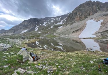
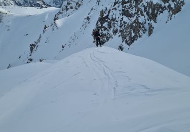
Randonnée assez exigeante par sa longueur et son dénivelé
L'ascension finale en trace plus directe fut assez éprouvante.


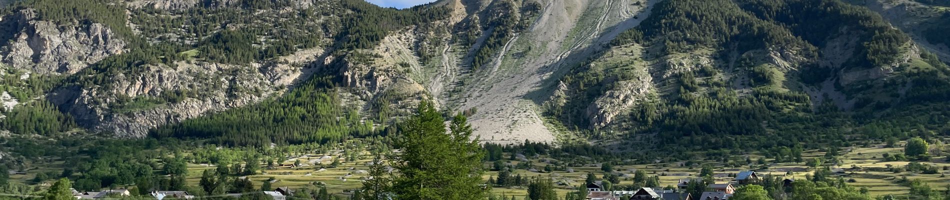
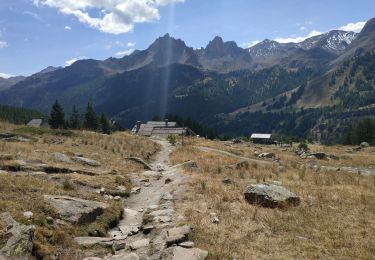
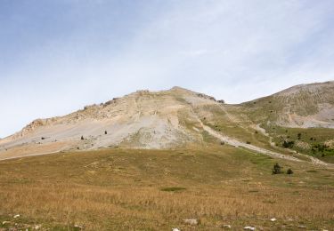
36 photos in total. Please click on a photo to see them all in the gallery.

Walking
Walking
Walking
Walking
Mountain bike
Walking
Walking
Touring skiing
Walking