


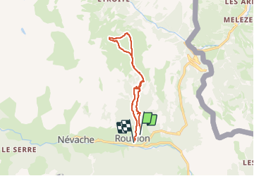


15.5 km | 28 km-effort

User


FREE GPS app for hiking
 SityTrail
IGN / Geographical institutes
SityTrail World
The world is yours!
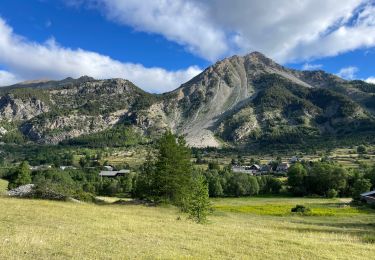
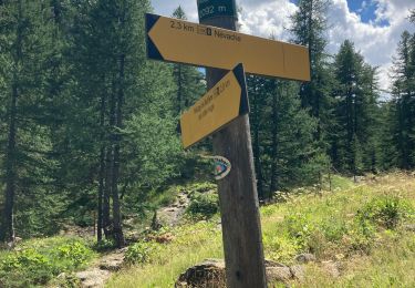
Trail Walking of 12.1 km to be discovered at Provence-Alpes-Côte d'Azur, Hautes-Alpes, Névache. This trail is proposed by AlainZouzou.
Roubion Départ parking de l'achillée
Montée rive gauche de la Clarée et descente rive droite.


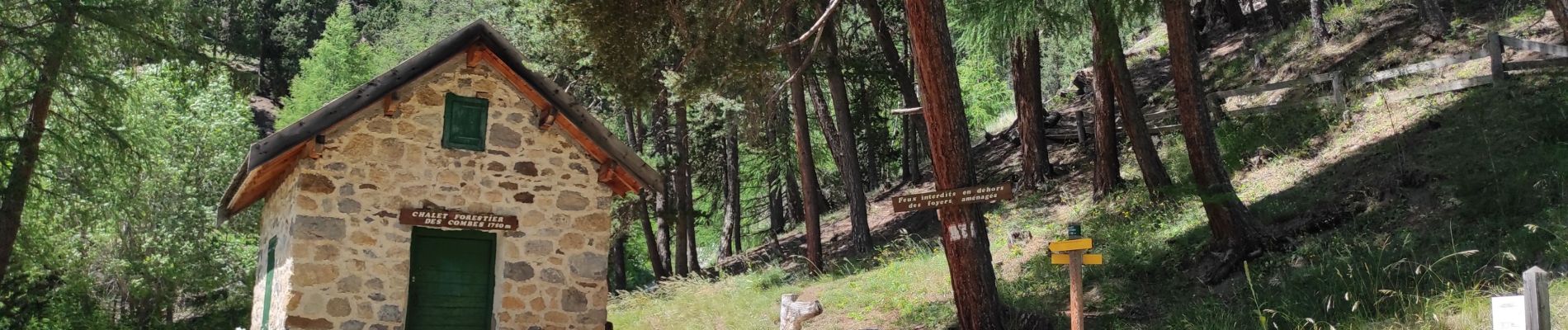
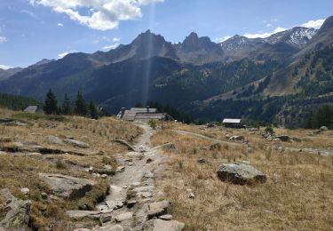
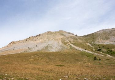
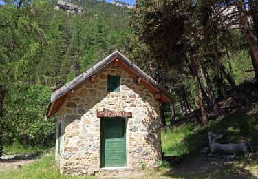
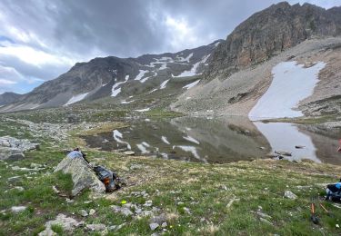
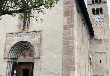
23 photos in total. Please click on a photo to see them all in the gallery.

Walking
Walking
Walking
Walking
Mountain bike
Walking
Walking
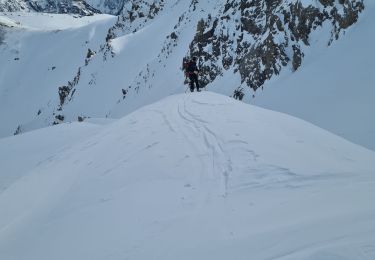
Touring skiing
Walking