


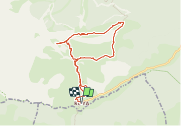

9.3 km | 18.1 km-effort

User


FREE GPS app for hiking
 SityTrail
IGN / Geographical institutes
SityTrail World
The world is yours!
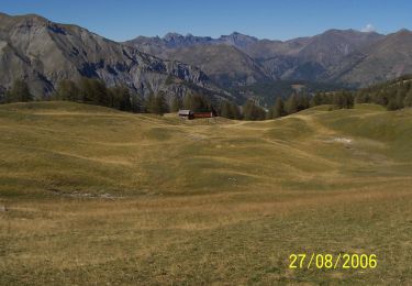
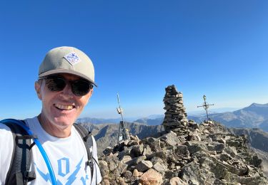
Trail Walking of 10.4 km to be discovered at Provence-Alpes-Côte d'Azur, Maritime Alps, Saint-Étienne-de-Tinée. This trail is proposed by GrouGary.
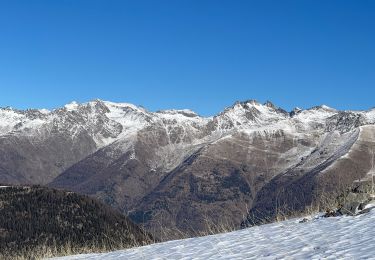
Boucle à faire au printemps ou automne, pour éviter chaleur été.
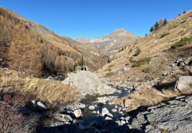
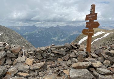
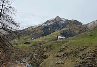
GR 5 pour découvrir les alpages et granges dont certaines sont encore habitées l'été pour la surveillance des moutons.
2 gros élevages de moutons, enfermés en journée par clôture, au lieu de pâturer (curieux) ... et chiens non hargneux.
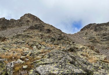
Retour après la Baisse du hérisson par ancien sentier peu visible jusqu'au Pt 1999 sur IGN puis descendre direct dans la pente herbeuse/églantiers, sans cairn (sauf 1 gros cairn à mi parcours), en visant les vieilles granges. Retour sur GR5 à Roya.
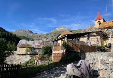
"Ma vieille école" est un gite d'étape ouvert à Roya de mai à septembre avec d'excellents cakes citron et orange


On foot
Snowshoes
Walking
Walking
Walking
Walking
Walking
Walking
Walking