


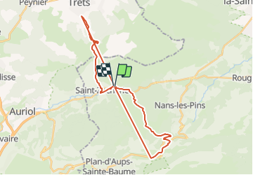

11.8 km | 15.5 km-effort


User


FREE GPS app for hiking
 SityTrail
IGN / Geographical institutes
SityTrail World
The world is yours!
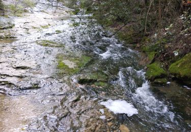
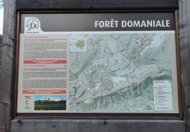
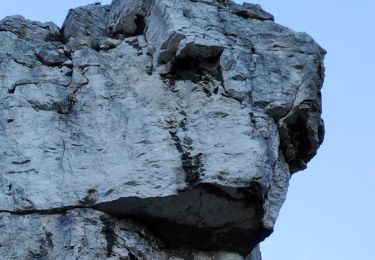
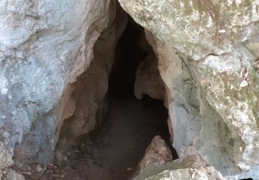
Trail Walking of 33 km to be discovered at Provence-Alpes-Côte d'Azur, Var, Saint-Zacharie. This trail is proposed by FILLE.
Erreur dans l'enregistrement. Le parcours à pieds est juste mais oubli de stop enregistrement à la fin...

Mountain bike

Walking
Walking
Walking
Walking
Walking
Walking
Walking
Walking