


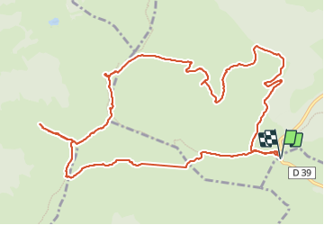

8.2 km | 14.2 km-effort

User


FREE GPS app for hiking
 SityTrail
IGN / Geographical institutes
SityTrail World
The world is yours!
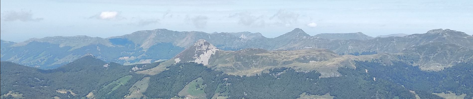
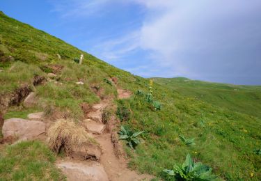
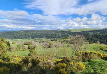
Trail Walking of 14.7 km to be discovered at Auvergne-Rhône-Alpes, Cantal, Paulhac. This trail is proposed by alinetpierre.
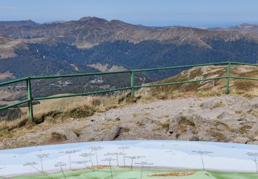
retour par Pourtoule et col de la tombe du Père à travers les estives.


Walking

Walking

Walking

Walking

Walking

Walking
Walking
Walking
Walking