


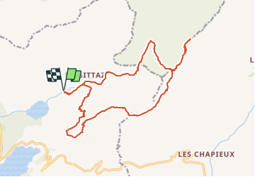

8 km | 16 km-effort


User


FREE GPS app for hiking
 SityTrail
IGN / Geographical institutes
SityTrail World
The world is yours!
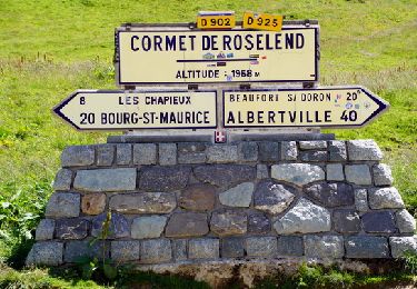
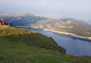
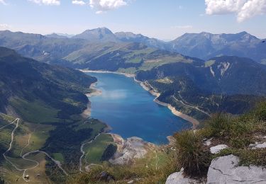
Trail Walking of 21 km to be discovered at Auvergne-Rhône-Alpes, Savoy, Beaufort. This trail is proposed by bill73.
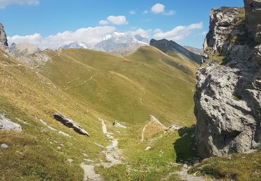
Elle balade bien la forme récupéré le piège photo en descendant Plan Voré

Walking

Walking
Walking
Walking
Walking
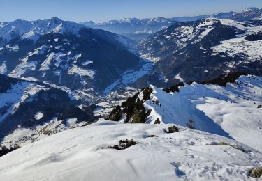
Touring skiing

Touring skiing
Walking
Walking