


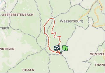

12.7 km | 20 km-effort

User


FREE GPS app for hiking
 SityTrail
IGN / Geographical institutes
SityTrail World
The world is yours!
Trail Walking of 10.2 km to be discovered at Grand Est, Haut-Rhin, Rouffach. This trail is proposed by Richard68500.
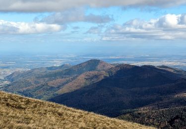
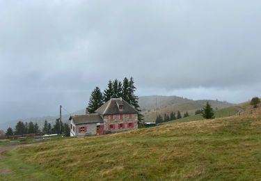
Magnifique randonnée sans difficulté, avec des
vues panoramiques exceptionnelles.
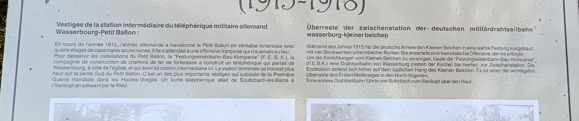
 - Photo 1")
 - Photo 2")
 - Photo 3")

Walking

Walking

Walking
Walking

Walking

On foot
Walking
Walking
Walking