


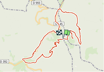


12.6 km | 16.9 km-effort

User


FREE GPS app for hiking
 SityTrail
IGN / Geographical institutes
SityTrail World
The world is yours!
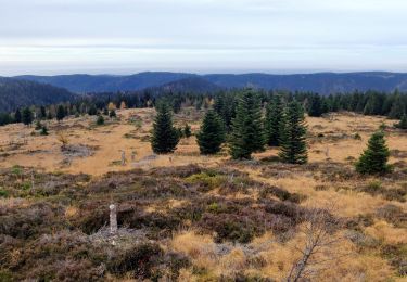
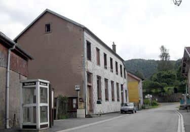
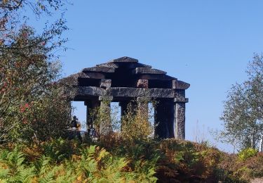
Trail Walking of 12.5 km to be discovered at Grand Est, Bas-Rhin, Grandfontaine. This trail is proposed by dragonchef.
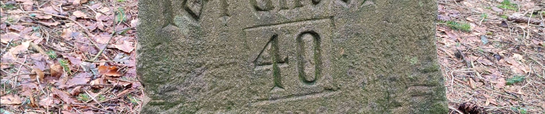
parcours à la découverte du petit et du grand Donon, des vestiges archéologiques, des blochaus de la Première guerre mondiale ainsi que les tombes des soldats français et allemands tombés


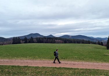
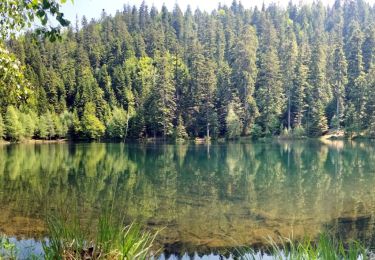
34 photos in total. Please click on a photo to see them all in the gallery.

Walking

Walking

Walking
Walking
Walking
Walking
On foot
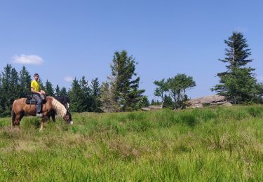
Horseback riding
Walking