


3.8 km | 5.5 km-effort

User


FREE GPS app for hiking
 SityTrail
IGN / Geographical institutes
SityTrail World
The world is yours!
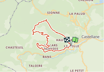
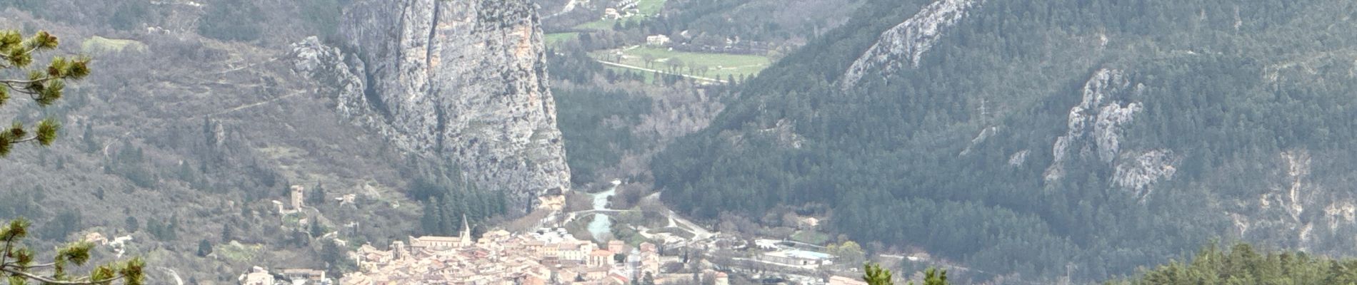
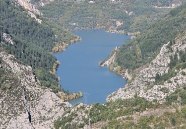
Trail Walking of 17.5 km to be discovered at Provence-Alpes-Côte d'Azur, Alpes-de-Haute-Provence, Castellane. This trail is proposed by ETMU5496.
Alternative à la descente très technique du Pré Chauvin
Départ La Colle près de Castellane
Ascension classique aux Cadières
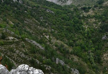
Mais redescente par l'arrière en direction du Col des Lèques.
La 1ere partie de la descente très minérale est délicate. Ensuite en partie boisée plus facile. Suivre le GR
IBP=99


28 photos in total. Please click on a photo to see them all in the gallery.

Walking

Walking
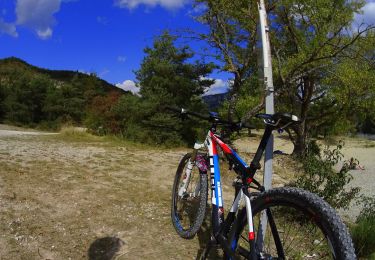
Mountain bike

Walking
Walking
Walking
Walking
Walking

Walking