


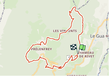

6.1 km | 10.8 km-effort


User


FREE GPS app for hiking
 SityTrail
IGN / Geographical institutes
SityTrail World
The world is yours!
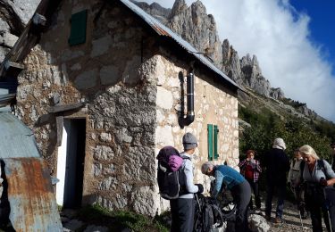
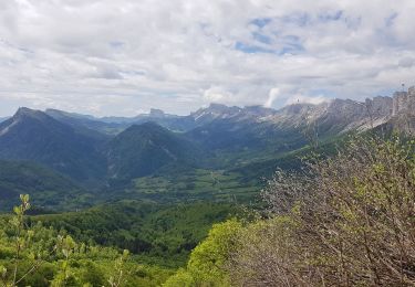
Trail Walking of 12.2 km to be discovered at Auvergne-Rhône-Alpes, Isère, Le Gua. This trail is proposed by rapako.
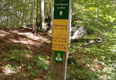
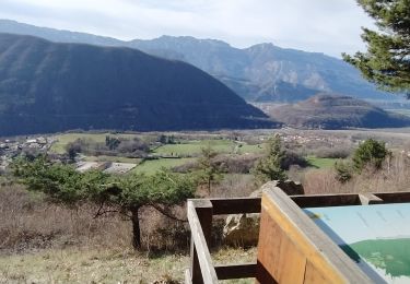
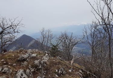
Un peu de marche sur des chemins ou routes bitumés.
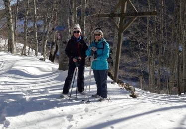
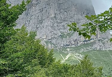
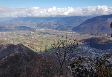
La forêt en haut de la boucle est magnifique, surtout avec des traces de neige.
Walking
Walking
Walking
Walking
Walking
Walking
Walking
Walking
Walking