


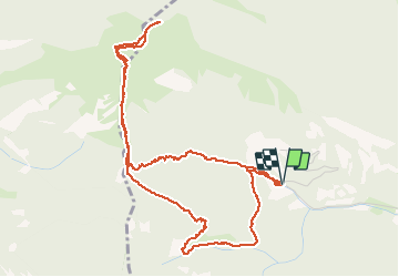

9.5 km | 14.9 km-effort


User


FREE GPS app for hiking
 SityTrail
IGN / Geographical institutes
SityTrail World
The world is yours!
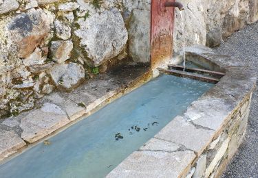
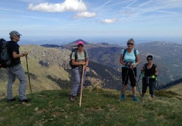
Trail Walking of 6.3 km to be discovered at Occitania, Hautespyrenees, Sost. This trail is proposed by ach31.
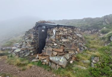
Pas long, mais très raide ! surtout la deecente.
Très beau panorama sur les 3000 pyrénéens.

Walking
Walking
Walking
Walking

On foot
Walking
Walking
Walking
Walking