


41 km | 52 km-effort


User


FREE GPS app for hiking
 SityTrail
IGN / Geographical institutes
SityTrail World
The world is yours!
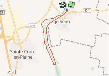
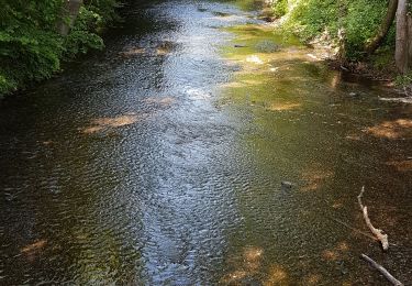
Trail Nordic walking of 6.1 km to be discovered at Grand Est, Haut-Rhin, Logelheim. This trail is proposed by Hub6877.
AMAELLES - Marche Nordique du 02/05/2024 - Logenlheim/Ste Croix
de 9h à 11h
10 participants (Animation: Hubert)
Météo : Couvert - Temp:


Walking

Mountain bike

Walking
Running
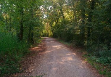
Walking
Walking

Cycle

Running

Mountain bike