


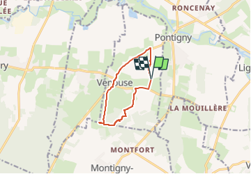

7.8 km | 8.9 km-effort


User


FREE GPS app for hiking
 SityTrail
IGN / Geographical institutes
SityTrail World
The world is yours!
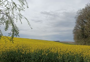
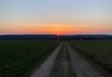
Trail Walking of 8.6 km to be discovered at Bourgogne-Franche-Comté, Yonne, Venouse. This trail is proposed by gpcadu.
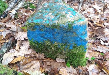
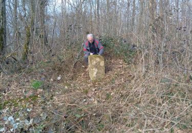
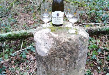
Balisage pour rando du 9 mai à la Grange de Beauvais.

On foot
Walking
Walking
Walking
Walking
Walking
Walking
Walking
Running