


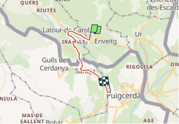


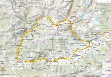
20 km | 28 km-effort


User


FREE GPS app for hiking
 SityTrail
IGN / Geographical institutes
SityTrail World
The world is yours!
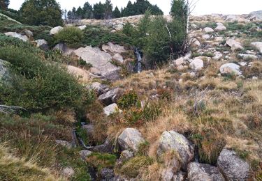
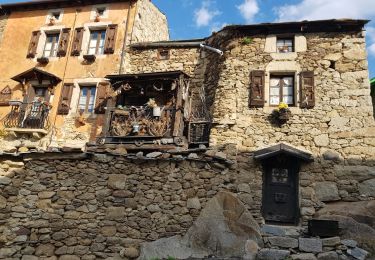
Trail Cycle of 6.7 km to be discovered at Occitania, Pyrénées-Orientales, Enveitg. This trail is proposed by sguer135.
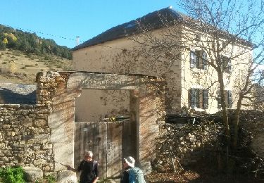
vendredi 12
arrivé latour Carole 13 h - puigcerda 17 h

Walking
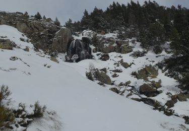
Snowshoes
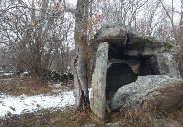
Walking
Walking
Walking

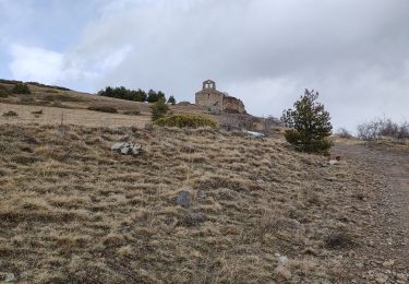
Walking
Walking
Road bike