


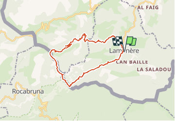


15.9 km | 28 km-effort


User


FREE GPS app for hiking
 SityTrail
IGN / Geographical institutes
SityTrail World
The world is yours!
Trail Walking of 14.9 km to be discovered at Occitania, Pyrénées-Orientales, Lamanère. This trail is proposed by force.
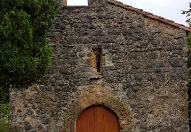
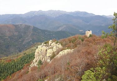
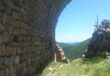
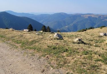
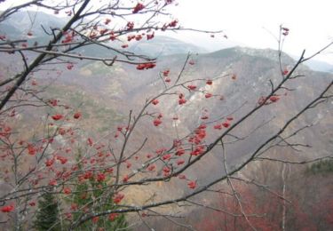
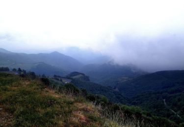
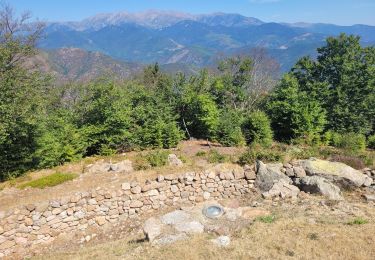
Belle Rando passant par ND du Coral. Chapelle et bâtiments à visiter. Le balisage disparaît le long de la frontière, suivre le fil matérialise la frontière. Partie pentue avant le col de Malrems, chercher les traces de sentier pour descendre.


Walking
Walking
Walking
Walking

Walking
Mountain bike

Mountain bike
Mountain bike
Walking