Trail Walking Canet-en-Roussillon - CANET-EN-ROUSSILLON 66 - entre TÊT, marais. étang et RÉART  - Photo

CANET-EN-ROUSSILLON 66 - entre TÊT, marais. étang et RÉART

 jeff66
jeff66

User

© OpenStreetMap contributors
Length
Length
16.3 km
Max alt
Max alt
13 m
Uphill gradient
Uphill gradient
89 m
Km-Effort
Km-Effort  
17.5 km
Min alt
Min alt
-3 m
Downhill gradient
Downhill gradient
90 m
Boucle
Boucle
Yes
Creation date :
2015-06-28 00:00:00.0
Updated on :
2015-06-28 00:00:00.0

(1 Reviews)

Walking
Walking
2h49
Difficulty : Medium

Scan this QR Code to open this trail in the SityTrail application

FREE GPS app for hiking

Logo SityTrail SityTrail

IGN / Geographical institutes

Download SityTrail from the App Store Download SityTrail from Google Play

Logo SityTrail SityTrail World

The world is yours!

Download SityTrail from the App Store Download SityTrail from Google Play Download SityTrail on Huawei AppGallery

About

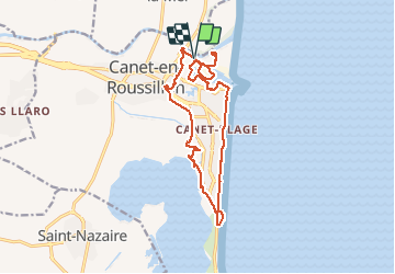
Trail Walking of 16.3 km to be discovered at Occitania, Pyrénées-Orientales, Canet-en-Roussillon. This trail is proposed by jeff66.

Description

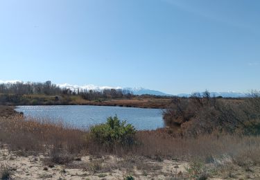
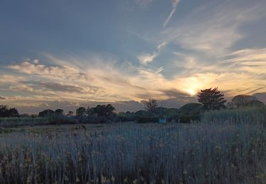
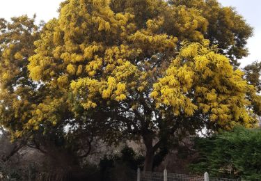
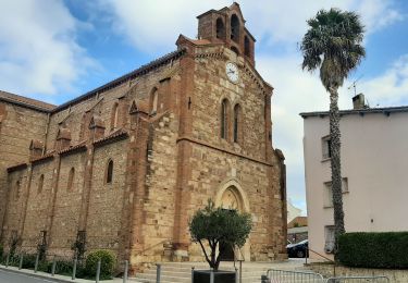
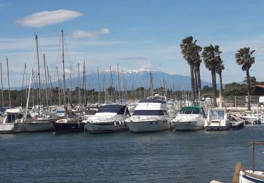
CANET-EN-ROUSSILLON 66 - bord de TÊT - passage sous le pont de la D81 enjambant la têt -  la bombarda - quartier du Ponant - restaurant le petit chez soi - rue du génois - au bout monter les escaliers - centre commercial - complexe la Luna - la colline des loisirs - passage piéton sous terrain sous D61-7 - voie cycliste -  entre prairie et marais - chemin entre marais et D81A - château de l'Esparrou - vignoble du château - El Cap Del Rec - observatoire de l'Esparrou_les baraques - camping Mar Estang - piste cyclable - hôtel les flamants roses thalasso CANET SUD - plage - promenade Charles TRENET - Estelle de Mar plage restaurant - résidences Grand Sud, Beaupré - Carré Bleu - Kiaora - les terrasses du levant - allée de palmiers Phoenix - front de mer. - paradisio - la Marenda - le soleil bleu - mini golf - parking font cote Vermeille - Tahiti Beach - restaurant l'hacienda - Casino Joa - CANET-PLAGE - Gondolys - club Paréo restaurant de plage   Côté plage - parking Ajaccio - capitainerie - port de plaisance - bassins Le Gouffre et des marinas - gendarmerie nationale - voie Florence Arthaud - vieux gréements - lycée Eva Luxembourg - gymnase Eric Tabarly - pôle nautique - El Gorg - campings les peupliers, Brasilia, le Bosquet - Carrera Vella - aire de carénage -

Elevation profile

Photos

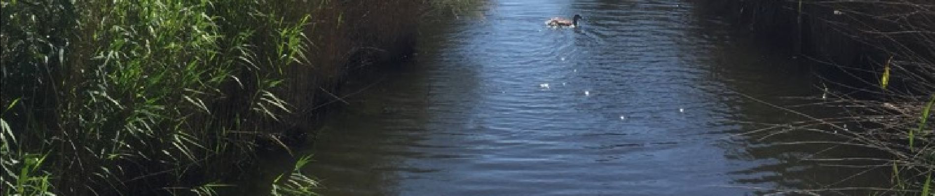
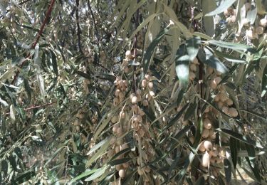
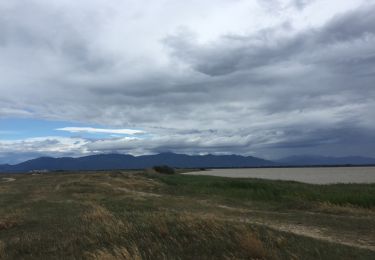
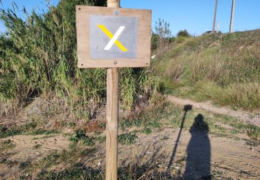
30 photos in total. Please click on a photo to see them all in the gallery.

Positioning

Country:
France
Region :
Occitania
Department/Province :
Pyrénées-Orientales
Municipality :
Canet-en-Roussillon
Location:
Unknown
Start:(UTM)
502149 ; 4728449 (31T) N.

Comments

Please log in to post a review or rate the element


Trails nearby

Trail Walking Sainte-Marie-la-Mer - 66 SAINTE-MARIE-LA-MER - à Sainte-Marie plage par la SALANQUE, la TÊT, le port le front de mer, et les canaux  - Photo
Walking
jeff66

Walking

Medium
(1)
Sainte-Marie-la-Mer, Occitania, Pyrénées-Orientales, France
12.1 km | 12.6 km-effort
2h 0min
Yes
Trail Walking Saint-Nazaire - 66 SAINT-NAZAIRE - CABESTANY promenade dans le vignoble de galets - Photo
Walking
jeff66

Walking

Medium
Saint-Nazaire, Occitania, Pyrénées-Orientales, France
9 km | 9.9 km-effort
1h 29min
Yes
Trail Walking Canet-en-Roussillon - CANET-EN-ROUSSILLON 66 - entre mer, plage, dunes et étang - SAINT-CYPRIEN-PLAGE - Photo
Walking
jeff66

Walking

Medium
Canet-en-Roussillon, Occitania, Pyrénées-Orientales, France
12.5 km | 12.9 km-effort
2h 14min
Yes
Trail Walking Sainte-Marie-la-Mer - sainte marie la mer - village et plage  - Photo
Walking
stef789

Walking

Easy
Sainte-Marie-la-Mer, Occitania, Pyrénées-Orientales, France
8.6 km | 8.9 km-effort
2h 40min
Yes
Trail Walking Sainte-Marie-la-Mer - sainte Marie la mer HUIT KM plus retour en voiture oups désolé  - Photo
Walking
stef789

Walking

Very difficult
Sainte-Marie-la-Mer, Occitania, Pyrénées-Orientales, France
45 km | 49 km-effort
4h 18min
No
Trail Walking Sainte-Marie-la-Mer - sainte-marie côté mer  - Photo
Walking
stef789

Walking

Very easy
Sainte-Marie-la-Mer, Occitania, Pyrénées-Orientales, France
8.4 km | 8.7 km-effort
2h 45min
Yes
Trail Walking Saint-Nazaire - st nazaire - Photo
Walking
66Gribouille83

Walking

Medium
Saint-Nazaire, Occitania, Pyrénées-Orientales, France
8.5 km | 9.1 km-effort
2h 57min
Yes
Trail Walking Sainte-Marie-la-Mer - tour de ste Marie la mer  - Photo
Walking
junique

Walking

Very easy
Sainte-Marie-la-Mer, Occitania, Pyrénées-Orientales, France
5.7 km | 6 km-effort
1h 19min
Yes
Trail Walking Saint-Nazaire - st Nazaire  - Photo
Walking
rosemarie

Walking

Medium
(1)
Saint-Nazaire, Occitania, Pyrénées-Orientales, France
6.9 km | 7.3 km-effort
1h 50min
No


Close
My subscriptions