


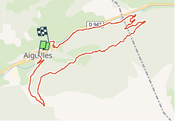

19.1 km | 36 km-effort

User


FREE GPS app for hiking
 SityTrail
IGN / Geographical institutes
SityTrail World
The world is yours!
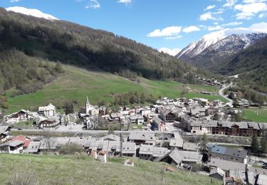
Trail Walking of 11.7 km to be discovered at Provence-Alpes-Côte d'Azur, Hautes-Alpes, Aiguilles. This trail is proposed by rochedaniel.


Walking

Walking

Walking

Walking
Walking
Walking
Walking

Walking
Walking
Finir le long du ruisseau à gauche pour eviter de marcher sur la route qui ne presente pas d'interet.