


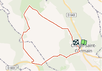


6.9 km | 9.2 km-effort


User


FREE GPS app for hiking
 SityTrail
IGN / Geographical institutes
SityTrail World
The world is yours!
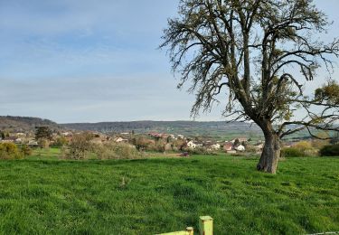
Trail Walking of 8.8 km to be discovered at Grand Est, Moselle, Châtel-Saint-Germain. This trail is proposed by ticaillou.
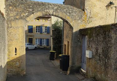
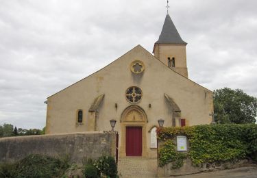
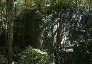
Au départ du square de Tagnon en contrebas de l'entrée du parking prendre le sentier du Prieuré et monter au Mont-Saint-Germain. Traverser le site, la pelouse calcaire et prendre le route de guerre à gauche. Au parking prendre la route de Vernéville, dépasser la ferme de Leipzig. Avant la ferme de la Folie prendre à gauche le chemin des Bannaires. Pénétrer dans le bois, prendre à gauche en direction de la ferme Saint Hubert. Le monument de la bataille de 1870 se situe au débouché d'un chemin creux, la taie au renard, montant des Génivaux vers le plateau, voie utilisée par les Prussiens, par l'armée américaine en novembre 1944 et peut-être déjà par les romains. Après la ferme Saint-Hubert se diriger vers la ferme de Moscou, longer le Fort Jeanne d'Arc par la gauche et continuer tout droit en passant au Hêtre des batailles. Couper la route de guerre et descendre vers Châtel par le chemin de Gravelotte. A la rue de Bonne Fontaine prendre à gauche pour retourner au square de Tagnon.

Walking

Walking

Walking
On foot
On foot

On foot
On foot

Walking