


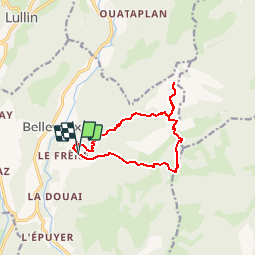

26 km | 53 km-effort


User


FREE GPS app for hiking
 SityTrail
IGN / Geographical institutes
SityTrail World
The world is yours!
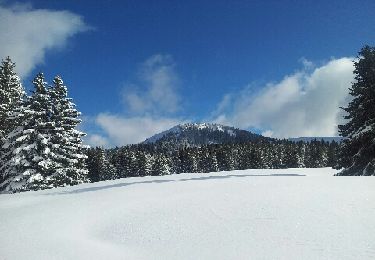
Trail Walking of 11 km to be discovered at Auvergne-Rhône-Alpes, Upper Savoy, Bellevaux. This trail is proposed by yveshumbert.
Rando d' une journée en boucle au départ du parking de l'Ermont.
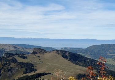
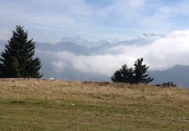
Rando facile, mais assez longue. Du sommet vous aurez une jolie vue sur le lac Léman

Nordic walking

Walking
Walking
Walking
Other activity

Running
Walking
Running
Snowshoes